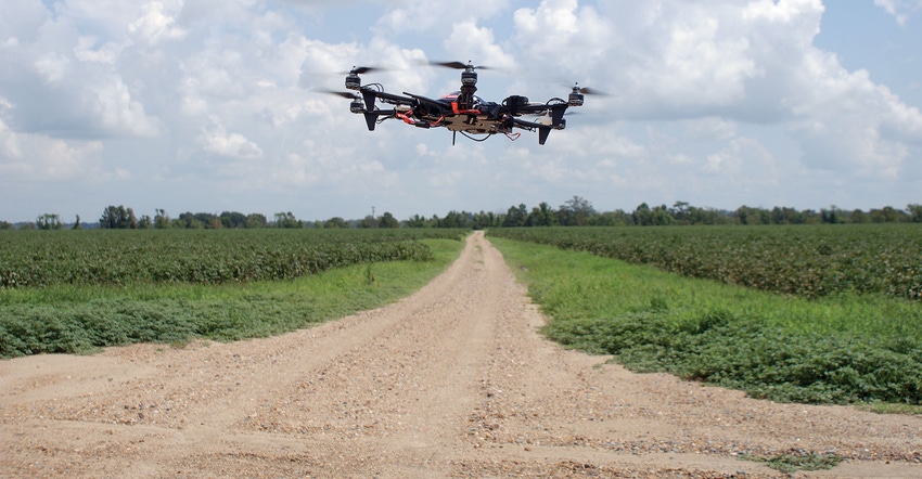
Operating drones with specific purposes can save time and improve on-farm decisions.
Dennis Burns, LSU Extension agent, Tensas Parish, La., and Ralph Fraizer Jr., LSU Extension agent in Madison Parish, La., have determined farmers do not have time to conduct on-farm precision drone work themselves. "It can take three to five hours to fly one 75-acre field, collect/merge images, and analyze results," Burns says. "That's time a farmer cannot commit to one task."
Burns and Fraizer recommend farmers evaluate and contract with a professional data management company. "I believe it's more efficient to have fields set up by a precision ag service that provides satellite images and delivers them electronically to the farmer," Burns says. "Some farmers have an employee whose job description includes managing the farm's data."
Tractors, combines, and cotton harvesters generate data quickly. Data management and analysis are pervasive problems. "I often hear a common complaint from farmers about not knowing how to benefit from their own data," Burns says. "Many commercial precision companies include imagery with the price of the data management package."
Better cameras and advanced software improve data accumulation and management.
Early stage foliar diseases and infestations of red-banded stink bugs are difficult to see with some drone cameras. "For a farmer to increase on-farm efficiency with a drone, he has to fly it with specific purposes," Burns says. "A farmer's time is valuable. There is always something on the other side of the operation requiring his attention."
The Extension researchers recognized the developing trend of using drones in agriculture five years ago and bought a small copter with a low-end camera, started flying and learning. "We collected mounds of data, spent hours uploading it to our computers and stitching together images, Burns says. "We want to show area farmers the benefits drones can offer."
Flying with a purpose
The researchers secured a grant for a project where they tracked and assigned time to every aspect of using a drone in a farming environment. "We flew the same route every 10 days over one field, and then walked the field to scout it," Burns says. "Other than weeds, that we could see from the truck, the drone was showing us little. We compared our NDVI images to images from satellites, airplanes and evaluated each step. Now we realize flying with a purpose is important."
Identifying a low spot in a field that requires a water furrow for drainage or verifying a nematode problem at the end of the season before defoliation are practical uses of a drone.
"Some of the flights we did to evaluate fertility were beneficial," Burns says. "Spending multiple hours flying over hundreds of acres, then having to upload and manipulate all the accumulated data is time-consuming and burdensome. For a farmer who is managing many aspects of his operation, it doesn't seem efficient."
Making a flight with a goal to determine the scope of a seep water problem in a field is a more practical use of a drone. "Pivots always give producers in-season problems," Burns says. "A drone can be flown above and along pivot spans, giving the pilot an elevated perspective to identify the problem without having to walk across a muddy field."
Burns knows drones can be a great tool, but farmers cannot dedicate multiple hours a week to their use. "Some people might tell you it doesn't take long to fly a drone and conduct precision imagery, but I've been there, it does," Burns said.
About the Author(s)
You May Also Like


