October 16, 2019

While there may be a period of dry weather in mid-October in South Dakota, a wetter pattern is projected to return by the end of the month, according to Laura Edwards, South Dakota State University state climatologist.
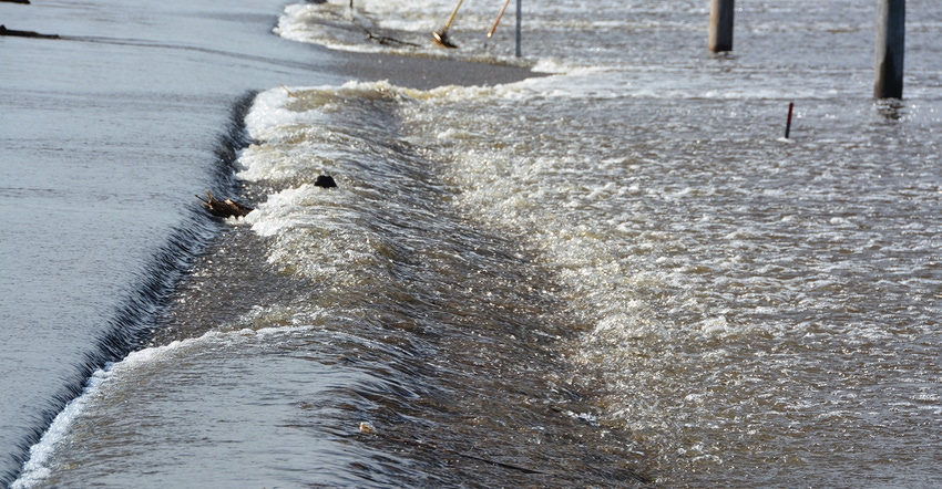
“This on-and-off wet pattern will maintain the high levels of soil moisture and surface water in lakes, stock ponds and rivers,” Edwards says. “As a result, high runoff is expected to continue from South Dakota tributaries into the Missouri River.”
The Upper Missouri basin, comprised of all rivers and tributaries that feed into the Missouri River above Sioux City, Iowa, will likely have near record runoff by the end of December. The current Army Corps of Engineers forecast is for 61 million acre-feet of water to pass through Sioux City, Iowa. This would match the total runoff in 2011, the current highest year in 121 years of record. The Missouri River at this point is already the second highest runoff year on record, with nearly two and half months to go in the year.
In the month of September, the runoff from eastern South Dakota into the Missouri River was 16 times higher than the long-term average, and more than twice the previous record. Overall runoff in the basin into the mainstem Missouri River above Sioux City was twice the previous record for the month, which was recorded in 1986.
Source: SDSU, which is solely responsible for the information provided and is wholly owned by the source. Informa Business Media and all its subsidiaries are not responsible for any of the content contained in this information asset.
You May Also Like


