The timing couldn’t have been more opportunistic for California water managers, as they conducted their third manual snow survey of the season just as the latest atmospheric-river storm was about to dump more precipitation on the West.
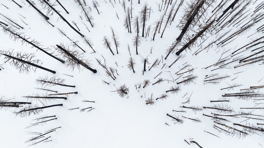
State Department of Water Resources analysts found an improved snowpack during their latest trek to Phillips Station near Lake Tahoe on Feb. 29, with the 47.5 inches of snow depth and a snow-water equivalent of 18 inches amounting to 77% of average for the location. The previous manual survey Jan. 30 found only 58% of average snow for the time of year.
Officials cautioned reporters in attendance that the snowpack was currently only 70% of the critical April 1 average after a slow and dry start to the water year that began Oct. 1.
“We are now in the last month of the traditional snow season and while conditions have dramatically improved since the beginning of the year, March will be critical in determining if we finish above or below average,” DWR Director Karla Nemeth said.
“No matter how the season ends, we are ready to take advantage of the water we do have to benefit communities, agriculture, and the environment, and continue storing stormwater in our groundwater basins for future use,” she said.
Nemeth’s remarks came as a massive storm expected to bring up to 100 inches of snow began hitting the West Coast. Weather alerts were issued throughout Nevada as that state was preparing for what was described as a life-threatening winter storm was to pass through this weekend, Newsweek reported. Blizzard conditions were expected throughout the West.
Snow needed
An abundance of new snow was needed. While storms in January and February caused flooding in many areas of California and left the state’s reservoirs flush with water, regulators note that the storms were warmer than average, dropping more precipitation as rain rather than snow.
California’s overall precipitation was 103% of average going into this weekend’s storm, and reservoir storage was also well above average. But DWR forecasts were projecting below-average spring runoff because of the slow start of the water year.
“California has seen several extreme climate events so far this water year, including record rainfall in Southern California,” State Climatologist Michael Anderson said. “While this pushed statewide precipitation above average, the snowpack still has not caught up from the dry conditions earlier this winter and local conditions still vary significantly from region to region.”
On average, the Sierra snowpack supplies about 30% of California’s water needs, officials say. Farmers hope big snows in March boost the so-far-meager state and federal water allocations for the season – 15% of requested supplies from the State Water Project and as little as 15% of requested Central Valley Project water for some irrigators south of the Sacramento-San Joaquin River Delta.
The federal Climate Prediction Center sees greater-than-average chances of precipitation in much of the West in the next month, and below-normal temperatures in California and the U.S. Southwest. The U.S. Seasonal Drought Outlook predicts that drought conditions that have bedeviled much of the Southwest and Intermountain West will spare California this spring.
DWR conducts its manual snow surveys monthly each winter and into spring, with the next one set for April 2. Another one is possible for May.
About the Author(s)
You May Also Like


