Subscribe to receive top agriculture news
Be informed daily with these free e-newsletters

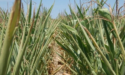
Forecasters say shift to La Nina is likely, and don't look for 2012 repeat.
You’ve likely already heard fearmongering about a repeat of 2012 because La Niña is coming. That’s hardly like the cry “The British are coming,” from Paul Revere days. La Niña may be coming, but when and if are still up for debate. Therefore, the impact on summer across Indiana and the Corn Belt is also up for debate.
Here are some basic definitions and facts.
• El Niño: warm phase of the El Niño/La Niña cycle
• ENSO-neutral: Pacific Ocean waters are neither warm nor cool (ENSO stands for El Niño/Southern Oscillation).
• La Niña: cool phase of the cycle
• El Niño/La Niña cycles are irregular in timing.

TOO EARLY TO TALK 2012: Forecasters are talking about a warmer-than-normal summer. Whether it’s drier than normal — and if so, when — remains to be seen.
• The events are important because they affect barometric pressure in the atmosphere, which in turn impacts air circulation patterns around the globe.
• La Niña summers tend to produce dry weather in the Corn Belt
• An El Niño cycle has been underway for the past several months.
So what does this all mean in terms of possible weather events in 2016 in Indiana? Ken Scheeringa, associate state climatologist, answers these questions.
IPF: What is the status of El Niño right now?
Scheeringa: It is fading away, and could be over even by the time farmers read this.
IPF: What comes next after El Niño?
Scheeringa: The current thinking is that we will have about four -to six weeks of ENSO-neutral conditions after that. Then La Niña will begin by mid-July.
I say current thinking because what the Climate Prediction Center has been saying about the start of La Niña has been gradually shifting over the last month or so. Originally the idea was that El Niño would end by the start of June. Then we would have three months of ENSO-neutral, which means there is neither an El Niño nor La Niña event (that is typical lag time between events). That would mean that La Niña would begin about late August or early September.
IPF: What has changed?
Scheeringa: A big part of the reason for the change in timing is because the warm water layer of the Pacific Ocean surface is so much thinner than usual, and this is speeding up cooling into La Niña status.
IPF: What does this mean for Indiana?
Scheeringa: The La Niña “signature” for Indiana summers has been drier than normal. The extreme example was 2012. But any two La Niña events are rarely the same, so we should not panic that another 2012 summer is coming. Rather, we should say that there is a historical tendency for La Niña summers to be drier than normal, not even necessarily a drought situation. Some private forecasters are jumping on the La Niña bandwagon.
IPF: Wasn’t this spring different from 2012?
Scheeringa: Yes. Our weather this spring hasn’t matched up with spring 2012. It seems premature to jump to the drought conclusion. The La Niña story is still evolving. Stay tuned.
You May Also Like
Enter a zip code to see the weather conditions for a different location.


