

Subscribe to receive top agriculture news
Be informed daily with these free e-newsletters

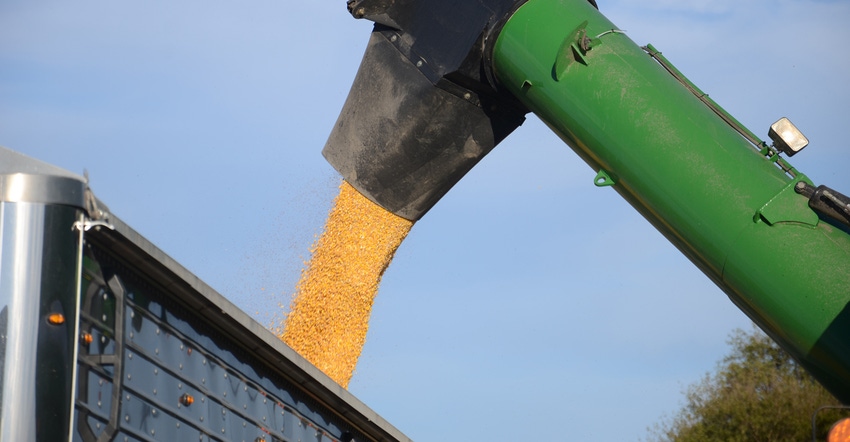
Salute Soil Health: Here are five things you can learn from yield maps.
If you are younger than 25 and your dad was an innovator, you might take yield maps for granted. If you’re older than 25 and can remember how there was no way to answer lots of questions once the crop was harvested, you may think of yield monitors that can produce yield maps as one of the great inventions of the past 50 years.
Clint Harrison says no matter how old you are, there are at least five ways you can learn from yield maps — especially in conservation fields. Harrison is a district conservationist in Indiana with the Natural Resources Conservation Service.
Salute Soil Health is prepared by Indiana Conservation Partnership personnel and other partners, led by a team of USDA’s NRCS staff, including Harrison and Don Donovan, also a district conservationist; Susannah Hinds, grazing lands specialist; Kris Vance, public affairs specialist; Tony Bailey, state conservation agronomist; and Shannon Zezula, state resource conservationist.
Yield map analysis
A yield map can help you figure out problem areas in a field and plan for an even better crop next year, Harrison says. For example, by comparing a yield map to a soils map, you may see that some fluctuations in yield come from different types of soil on your farm that need to be managed differently. Comparing yield maps to soil tests may help determine where amendments are needed for next year.
Here are five other key factors to evaluate with yield maps, according to Harrison.
1. Crop hybrids. Replicated trials are always the best, but many farmers now plant two hybrids at the same time all the way across a field. Once they have the yield map, they can determine which hybrid did better overall, and where each hybrid excelled or had issues.
2. Low and high areas. Topography may be a feature you can pick up from a yield map. Higher areas would be more subject to soil erosion.
3. Previous use of the land. If there was a fencerow or woods in the field at one time, the yield map will likely pick it up.
4. Weather differences. If the field is large enough, variations in rain and other weather variables may show up. Look for weather vs. soil interactions.
5. Compaction in high-traffic areas such as turn rows. These typically show up in aerial patterns during the season, and definitely in yield maps.
Harrison says it may take a few years to decide to make a major management decision based on your findings from yield maps. He encourages you to take a look at where the most losses came from and what would be the most economical change. For example, maybe it’s improving precision application of fertilizer, chemicals and seed; reducing soil runoff; determining compacted areas that may benefit from cover crops; or even deciding a hybrid isn’t suited for your soils and weather patterns.
You May Also Like
Enter a zip code to see the weather conditions for a different location.


