May 22, 2020

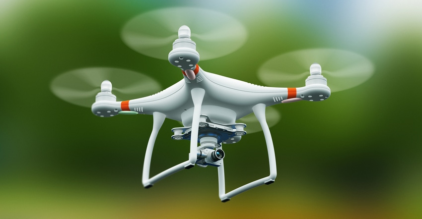
Drone images can have value when evaluating just what’s happening with your crop in season.
Need a stand count and a look at crop health? A drone can do that, but the challenge is this: Will you fly the drone, or hire someone? And how do you find a drone pilot for hire?
A New York company, Ag Analytics, is aiming to solve that problem with its new UAV-on-demand service.
In a demonstration of the unmanned aerial vehicle service, Jeffrey Nazuka, business development coordinator, Ag Analytics, showed how easy it is to get online, find your fields and issue a flight order. “We preload field boundaries on the map, and you can click those to select your field. If you see a field that doesn’t match up to your boundaries, it’s easy to change that on-screen before you order,” he explains.
In a test, Farm Progress identified a 92-acre parcel in eastern Iowa, but he explains that you can find land anywhere in the country to fly. The drone flight comes with a basic report which includes elevation maps, Normalized Difference Vegetation Index maps, a plant health analysis and an interactive 3D map. Once you select the field and the basic report, you can add other features like reports for weed identification, nutrient management and other issues for the field.
Once your order is placed, in three to five days a drone pilot will reach out to you to set up the flight. “We serve the lower 48 states,” Nazuka says. “We contract with an independent set of drone pilots to do the work.”
After a field is flown, the data are uploaded into the Ag Analytics platform for you to access. That’s available even without signing up for a free Ag Analytics account using a secure link that’s provided when your data are ready. “You can share that email with the link with your consultant,” Nazuka says. “It’s a ‘tokenized’ link through email that proves you have permission to access the report.” For customers with an Ag-Analytics account, the images and reports will also be uploaded to your account.
Pricing and special reports
The cost starts at $210 for a 60-acre field, or $2.40 per acre for larger fields, and can be ordered quickly on the Ag Analytics website. Extra reports can add $1.25 per acre. For example, for a field near Pullman, Wash., 217 acres would cost $3 per acre to start; then, each report was $1.25 per acre.
It’s easy to check out the pricing on the site. Just look for the service under “tools,” outline your field and look to add reports. The site is transparent, which farmers will find valuable.
The company has partnered with Farm Flight for the service, and the reports available include disease detection, flowering analysis, nitrogen status, drought detection, pest detection, stand count, waterlogging and weed detection.
Farmers who are considering having drone images taken of their fields can learn more at analytics.ag. The service also allows you to upload field maps with your field names through precision data integration from major services, including John Deere Operations Center, Climate FieldView and CNH systems. That can be a time-saver when ordering imagery by field, and it keeps your naming conventions for reports.
About the Author(s)
You May Also Like


