Subscribe to receive top agriculture news
Be informed daily with these free e-newsletters

All signs point to an El Niño weather pattern settling in through the winter months in the Southeast, possibly having an effect on agricultural production in the region.
January 22, 2015
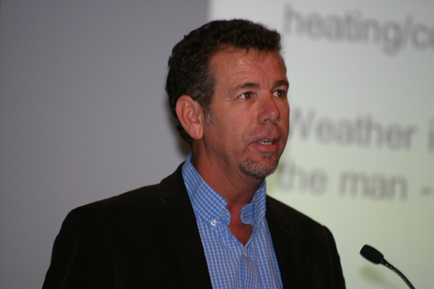
All signs point to an El Niño weather pattern settling in through the winter months in the Southeast, according to David Zierden, with the Florida State University Center for Ocean-Atmospheric Prediction Studies and state climatologist for Florida.
The El Niño-La Niña cycle has a direct impact on agricultural production, says Zierden, who explained at the recent Alabama Corn and Wheat Short Course in Auburn that the two weather phases are linked to ENSO, which is an oscillation that occurs every three to seven years between warm and cold phases of sea-surface temperature in the Equatorial Pacific.
The El Niño phase results in lower winter temperatures and higher winter-spring rainfall. The La Niña phase causes warmer and drier conditions from fall to spring.
“When you have an El Niño in place, corn yields generally are down from 10 to 35 percent over the entire Southeast,” says Zierden, citing NASS data on county farm yields from the past 50 years or so. “On the other hand, when you have a La Niña, or the warmer, drier winters, we see an increase in corn yields over the Southeast region.
“These statistics are not separated between irrigated and rain-fed. So during a La Nina, a lot of the corn is irrigated, and you have a warmer spring and a lot more sunshine and more solar radiation. You can get ahead on the growth curve, and yields respond to the increase in sunlight and warmer temperatures,” he says.
These patterns also have an effect on the number of chill hours during the winter months, says Zierden, which is very important for flowering fruits such as blueberries, peaches and strawberries.
“When an El Niño is in place, and we get cooler and wetter winters, there’s a 70 to 90 percent greater chance that you’ll get more than the normal amount of chill hours for your region. With a La Niña, and the accompanying warmer and drier winters, there’s a good chance that you won’t get your normal accumulation of chill hours.”
The changes of winds over the western Pacific Ocean initiated El Niño, says Zierden. “Back in April and May of last year, a lot of scientists thought this might be one of the big El Niño events, but then during the summer, the westerly winds stopped and sea-surface temperatures almost returned to normal. Since then, we’ve had a couple more weaker westerly wind events, and the sea-surface temperatures are really starting to respond. It’s starting to look like a classic El Niño signature, well above El Niño thresholds, and it looks as though it will persist for the next several months.”
So with a weak to moderate El Niño showing itself and being in place, one can formulate a reasonably official winter climate outlook for December, January and February, says Zierden.
“It’s showing a chance of cooler-than-normal temperatures across the Southern U.S., very consistent with what we know about El Niño, and an increased chance of above-normal precipitation for the Southwest, Texas, Florida and the Southeast. NOAA is banking on this El Niño being with us all winter and influencing our winter climate patterns.”
The atmosphere certainly has responded as if it is an El Niño event, he adds.
“We had a dry summer this past year in the Southeast. Tallahassee actually had its driest summer on record when you’re talking about June, July and August. We had an inactive Atlantic hurricane season and a very active eastern Pacific hurricane season.
“So El Niño is here, and we need to plan accordingly. Some of the other forecast centers are not fully on board yet. NOAA is holding at a 65-percent chance that it’ll be in place during the winter months, but Australia is a bit more bullish at 70 percent.”
This past year has been another relatively inactive hurricane season, as predicted, because of the anticipated El Niño forming in the Pacific Ocean, says Zierden.
“While it doesn’t necessarily have anything to do with the El Niño and La Niña cycle, we’re now in a hurricane drought. It has been nine years since a major hurricane – category 3 or higher – has hit anywhere in the United States. Wilma was the last one, hitting south Florida back in 2005. That’s by far the longest streak without a major hurricane, according to records.”
It’s very similar for the state of Florida, which hasn’t been hit by a hurricane of any strength since Wilma in 2005, says Zierden.
“That’s more than nine years, twice as long as any streak in history. It’s an anomaly, but we obviously are in this hurricane drought. There’s nothing we can really read into it. We’ll likely get hit sooner or later, and we need to be prepared.”
Looking at other unusual weather phenomenon from this past year, the Southeast experienced lower-than-normal chill events in November 2014, says Zierden.
“Low temperatures on the morning of Nov. 20, included 15 degrees F. in Auburn, 21 degrees in south Alabama, 23 degrees in Tallahassee, and temperatures down in the teens in north Florida. This came close to setting a record for the earliest occurrence of temperatures in the teens in the state of Florida. It might have affected some Satsuma growers in south Alabama and north Florida. We also had very high dew points during this freeze which led to a heavy accumulation of frost.”
Because of that cold snap and others, it’s actually one of the coldest Novembers on record in the Southeast, he says.
You May Also Like
Enter a zip code to see the weather conditions for a different location.


