Many people already would like to forget about 2020. Beth Hall, Indiana state climatologist, has made multiple observations about weather patterns in 2020.
“It’s just been an odd year for weather, especially here in the Midwest,” she says. She is also a member of the Purdue University Agronomy Department.
“The August derecho storm, which moved across multiple states, and the Mother’s Day weekend freeze, which hit Indiana hard, were two very unique events,” Hall says. Both impacted the growing season and yield potential of various crops. The size of the derecho made it unusual. The freeze, which hit 28 degrees F or lower, stood out because of its super-late timing.
Derecho’s path
The early August derecho impacted eight states, including Indiana, after beginning in northeast Nebraska and southeast South Dakota. Damage to crops and structures was most significant in Iowa, but major damage occurred elsewhere. At least one death related to the storm occurred in northern Indiana.
“What made it so unique was that it was massive — covering an area nearly as large as the state of Iowa — and held together so long,” Hall says.
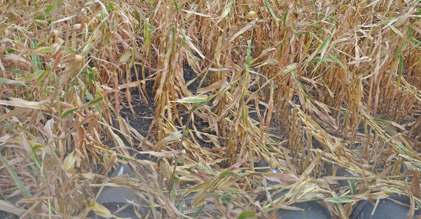
The storm contained straight-line winds up to 100 miles per hour and flattened crop fields in its path, especially in Iowa. You know a storm is special when it alone causes enough damage to impact prices on the Chicago Board of Trade. Between this storm and a serious drought, projected yields in Iowa fell enough to trigger grain price rallies. The damage was real, not just part of a forecast, so price rallies had staying power.
Hall explains that a derecho forms when cold air is flushed beneath and ahead of a powerful thunderstorm, forcing air in the storm down so fast that it heads out horizontally when it hits the ground, creating strong winds. “These were so strong, we could track them on radar,” she says.
It’s not unusual to observe a derecho, but most hold together over a relatively small area, she says. In the early 2010s, a derecho formed in northern Indiana, with its greatest impacts in Ohio.
“The winds and damage then weren’t nearly as bad for as many states as the one on Aug. 10, 2020,” Hall notes.
Early freeze
Mother’s Day is traditionally the second weekend of May. To have a killing freeze with temperatures below 28 degrees then isn’t unheard of, Hall says — but it rarely happens. This year, atmospheric conditions and weather patterns lined up just right for such a cold air mass to penetrate so deep into the continental U.S. so late in the spring, she explains.
Just how rare was the Mother’s Day freeze? Check out Indiana climate maps for yourself at the Indiana state climate website. Click on Freeze/Frost Probability & Growing Season Length.
In only 1 of 10 years does the last 32-degree frost occur in all but the very northeast tip of Indiana after the May 7-13 period. A 28-degree killing freeze occurs only 1 year out of 10 after April 17-22 in roughly the southern 80% of the state.
The average date of the last 28-degree killing freeze is April 3-10 over most of Indiana, and no later than April 23 anywhere in the state.
About the Author(s)
You May Also Like


