Subscribe to receive top agriculture news
Be informed daily with these free e-newsletters

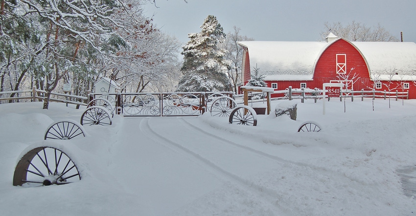
Climate Observations: Usually, January and March are the snowiest months in Minnesota, but not seven years ago.
November 3, 2017
On a statewide basis, December 2010 was very snowy with frequent snowstorms and some very heavy snowfalls that impacted travel around the state. Some climate stations reported snowfall on 20 or more days during the month, while many also reported 24-hour snowfalls of a foot or more.
Long-term climate averages show that January and March tend to be the snowiest months in Minnesota. However, about one fifth of the time December turns out to be the snowiest month of the winter, as was the case in the winter of 2010-11.
During December 2010, more than 75 climate stations in the state reported a snowfall total of 30 inches or greater. Portions of the Minnesota counties of Carver, Goodhue, Winona, Olmsted, Scott and McLeod reported more than 40 inches, setting new all-time records for the month.
The two biggest snow storms occurred over Dec. 3-4 and again Dec. 15-16, affecting different geographic areas of the state. The early December heavy snow brought 8 to 12 inches to portions of southeastern Minnesota, causing many road closures in that area. The second snow storm primarily impacted central Minnesota and areas along the Minnesota River Valley, where between 8 and 14 inches of snow accumulated.
It is interesting to note that December 2016 was for many the snowiest month of last winter, yet overall delivered fewer snowy days — only five or six in many counties. It was a wetter-than-normal December in 2016, mostly because of the number of rainstorms, not the number of snowstorms.
This has further substantiated an observed trend in winter precipitation across the southern half of Minnesota, primarily. That trend is that a larger number of winter storm events are bringing rainfall to portions of the state instead of snowfall. As winter temperatures continue to warm, especially overnight low temperatures, it is more likely that we will continue to see a higher frequency of wintertime rainfall events. This becomes problematic especially when the rain freezes.
Northern Minnesota counties do not yet show this trend and continue to have a higher frequency of snowfalls rather than rainfalls during the winter. As a result, more persistent snow cover is characteristic there whereas it has become across southern counties to just have intermittent snow cover during the winter months.
With another recent warmer than normal autumn season under our belts, it will be interesting to see whether or not December 2017 brings us more rainfall than snowfall across many areas of the state.
Seeley is an Extension climatologist with the University of Minnesota.
You May Also Like
Enter a zip code to see the weather conditions for a different location.


