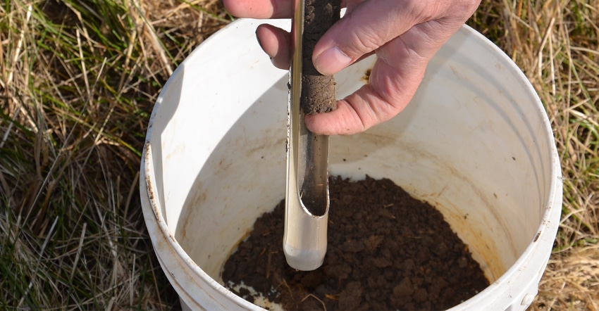
Start with the assumption that you believe in soil testing. You know you need a road map to help determine how you should apply fertilizer in each field.
The harder part can be choosing how to build your road map. There are three primary methods, and several variations on each. Joe Nester, owner of Nester Ag LLC, Bryan, Ohio, has spent nearly 40 years working with soil testing and making fertilizer recommendations, primarily for farmers in Ohio and Indiana. When he visited one of those farmers recently, the farmer, Mike Starkey, Brownsburg, invited about 150 friends to come listen to Nester in his toolshed.
Nester discussed all three primary soil-testing methods, and made his case for why he prefers one over the others.
• Grid soil sampling. This is not an option Nester prefers. “A typical practice is pulling several cores in a 10-foot-by-10-foot cell around an ATV in the center of a 2.5-acre grid,” he explained. The grid system for sampling was likely laid out by computer. Just because it was done by computer doesn’t mean results will be meaningful, he contends.
If you get data from one 10-by-10-foot cell in 2.5 acres, you’re getting data from one cell out of 1,089 possible cells in that area, Nester pointed out. “What you really end up doing is estimating how much phosphorus and potassium to apply in the vast majority of cells based on results from one location,” he said. “There’s too much variability within a field for that to be accurate. If you only sample every four years, you’re simply waiting too long to monitor what’s happening. Chemical and physical properties in soils change faster than that today.”
• Sampling by soil type. Many people base sampling on soil survey lines in soil surveys completed primarily in the last century by the Natural Resources Conservation Service. Results are online today through the NRCS Web Soil Survey tool. Precision farming wasn’t even a gleam in anyone’s eye when most of the surveys were completed.
“Soil surveys were never intended to be used for this purpose,” Nester said. “They’re just not accurate enough in most cases for what we’re trying to do.”
• Management zones built from yield maps. “Let the crop tell you what it needs, but then ask the farmer too!” Nester said. He said this method has been most successful in his business.
“Start building up years of yield data if you haven’t already,” he suggested. “Overlay yield data from several years, and use the results to begin creating soil management zones.”
Sometimes something may have happened in the past that affects yields but isn’t obvious, and that’s why you need farmer input, he noted. Over time, though, he’s confident that you can build accurate management zones for soil testing by starting with yield map results.
About the Author(s)
You May Also Like


