February 20, 2024

Checking the rain gauge is part of the morning routine for many, right between brewing a pot of coffee and clicking on the morning news. Why not take that a step further and report that weather data to a national database?
The Community Collaborative Rain, Hail and Snow Network, or CoCoRaHS, is made up of volunteers across the country who share weather data to map precipitation. Their work helps provide an accurate reflection of what is happening in their neck of the woods.
“It gives you an idea that this is actually what really happened at that area,” says Bryan Overstreet, Purdue Extension soil conservation coordinator and Conservation Cropping Systems Initiative agronomist.
Who uses the data
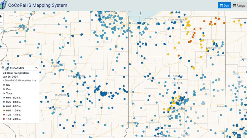
Anyone can access the weather data at cocorahs.org. There, users can zoom in to any specific state, county or township to view precipitation data. They can also browse maps that record drought conditions and watersheds.
On a larger scale, the National Weather Service analyzes the data each morning to help determine flood watches and other significant weather events.
“Basically, you become a reporter for the National Weather Service on those types of things,” Overstreet says.
Other users who benefit from the recorded data include state climatologists, researchers and EMS personnel, to name a few.
“Anybody, whether you’re a participant or not, can look at the maps,” Overstreet explains. “You can look at national maps or county maps or actually zoom in and look at the individual records.”
Overstreet notes the new version of the website is more interactive than the past version, allowing users to also select a certain time range and view precipitation data for that specific period.
How to volunteer
Folks of all ages and backgrounds can volunteer to record weather data for CoCoRaHS. It only takes a few minutes each day to log the data and a short training to get started.
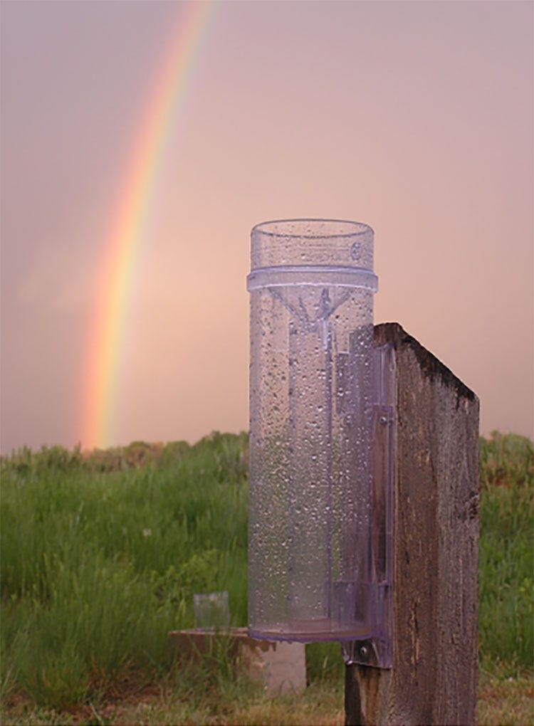
Interested volunteers can register at cocorahs.org. They’ll complete a quick online training to learn where the best spot is to set up their rain gauge and how to enter data. They’ll then need to order a rain gauge that is standard across the CoCoRaHS Network. It costs around $35.

GETTING STARTED: Interested volunteers need to complete a quick online training at cocorahs.org and purchase a rain gauge like the one pictured.
Daily reporting is simple. Volunteers check their rain gauge in the morning, ideally around 8 a.m., and upload the data to the CoCoRaHS app or website. During more significant weather events, they may need to monitor their rain gauge more closely and update the data more frequently to provide the most accurate information possible.
On days with no precipitation, Overstreet emphasizes that it is just as crucial to upload data.
“Most days it’s just a zero, so you just need to go online and put a zero in,” Overstreet says. “Zeros are just as important as rain, especially when they’re looking at drought numbers. If you don’t put anything in, they don’t know that there’s nothing.”
A growing network
Last year, CoCoRaHS gained 120 new volunteers across Indiana. This year, the goal is to recruit 150 more volunteers. Underserved areas of the state include west-central Indiana and parts of southern Indiana.
CoCoRaHS holds a “March Madness” event of sorts where all states compete to see which one recruits the most volunteers during that month. Overstreet recommends registering during March to give Indiana a boost in the competition.
For more information, interested volunteers can reach Overstreet at 219-869-4920 or [email protected].
Read more about:
WeatherAbout the Author(s)
You May Also Like


