June 18, 2019

I’ve been thinking a lot about precision agriculture these days. It’s almost as commonplace as soil health. But is precision a relatively new concept to agriculture? It’s not a new concept to conservation.
Back in April, we celebrated the 84th anniversary of our agency, formerly the Soil Conservation Service, now the Natural Resources Conservation Service. What that means to me is that the idea of precisely managing natural resources such as soil and water to grow crops on farms goes way back.
Modern precision ag tools can help us identify areas of the farm that may be best suited for other uses. We also get information to help us be very precise in the placement of seed, fertilizer and pesticides.
Back in the 1930s, conservationists weren’t just teaching farmers what to do on farmland; they also showed them how to “read” their fields — how to look precisely at the land and see what it needed to restore it back to health.
I understand the need to get a lot of work done, and usually in a very short window of time. I realize that type of efficiency has gone a long way in helping us feed this world. I also see it as our responsibility as farmers to know the land, to see the slope and curves, and to understand how rainfall responds and travels across that soil.
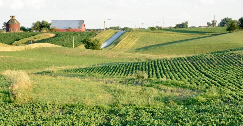
There’s a lot we can do to manage the land, and in doing so, to carefully manage our resources. We curve the track of our seedbed around the hill. We slow down and capture rain and runoff water even more by installing terrace systems that deliver runoff to an outlet for safe release. We identify areas in fields where water always flows and design vegetated patches to keep soil where we need it.
Those are just examples of customized and precise conservation practices we’ve recommended since the 1930s. The big data that helps drive the modern era of precision farming has also found its way to NRCS.
Today, we have new technology, digital information and photography. Data tools such as high-definition light detection and ranging (LIDAR) can instantly give us the same type of information that used to take hours of on-site surveying time to gather. It’s so accurate, we are beginning to incorporate its use into some of our conservation practice design processes.
At NRCS, we have an old saying: “Plant the best, save the rest.” That sounds very similar to some of the concepts behind modern precision ag tools. The soil survey and topographic data we used to use were primitive by today’s standards, but at the time, the information was state-of-the-art. It’s been updated and included in modern land evaluation tools, along with other environmental and economic data sets.
Precision agriculture, healthy soils, stewardship and doing the best we can for the planet — these are ideas that have been around for a long time. Many involved in agriculture have been doing this for a lifetime. Some are just beginning. We’re all still learning how to do it better on our particular piece of Earth. I hope we never stop learning.
I urge farmers and conservationists to continue to work together. Share and pass those lessons on so every person who touches the soils that grow crops, or who impacts their care, collection or distribution, can do their small part in this amazing and precise industry we call agriculture.
Dozier is the Illinois state conservationist. Direct comments or questions to [email protected].
About the Author(s)
You May Also Like


