October 10, 2023

The overall strength and duration of the 2023-24 El Niño episode (warm waters in the equatorial Pacific Ocean) is yet to be determined by the National Oceanic and Atmospheric Administration scientists, but some have said that it holds the potential to be one of the strongest in recent decades.
There is no question that El Niño episodes historically have some impact on Minnesota weather conditions, especially during the November through March period. Repeated research has shown that El Niño is associated with warmer-than-normal temperatures across Minnesota during the November through March period.
One of the strongest El Niño episodes of the 20th century occurred in the winter of 1982-83. It caused weather-related disasters on every continent and produced one of the warmest winters in history for many northern states, including Minnesota, where it was the eighth-warmest winter in history.
Following the demise of the 1982-83 El Niño episode which occurred in the spring of 1983, there was a somewhat abrupt transition to a La Niña episode in the equatorial Pacific Ocean (cooler-than-normal surface water temperatures), and this episode started in the autumn of 1983. This transition brought an abrupt shift in the Minnesota weather pattern, leading to one of the coldest December-January periods in state history (a La Niña impact), as well as one of the snowiest Novembers in history (also a likely La Niña impact). November of 1983 brought three very significant snowstorms to the state.
Snow piled up
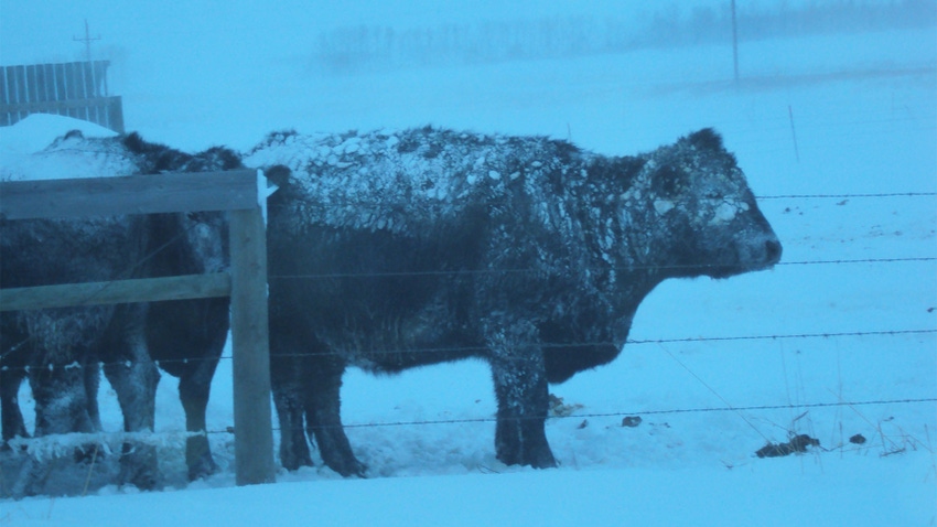
The first major snowstorm came on Nov. 8, delivering 4 or more inches to several areas of southern Minnesota. The second storm cut a wider swath across the state over Nov. 22-23. It was slow-moving and longer-lasting, and it delivered 6 to 12 inches of snowfall to most places. Some areas up north received more than 15 inches.
The third major snowstorm came over Nov. 27-29 and delivered between 7 and 16 inches across much of southern Minnesota.
By month’s end, the depth of snow cover across much of the state ranged from 10 to 24 inches.
Though 40 years ago, the November of 1983 total snowfall remains a record for many agricultural counties in Minnesota. Some examples:
29 inches in Kandiyohi County
26 inches in Watonwan County
25 inches in Faribault and Lyon counties
22 inches in Redwood County
Influenced by the transition to a La Niña episode, the majority of the snow season (November 1983 to March 1984) brought very heavy amounts to many southern Minnesota counties, ranging from 60 to 80 inches. Both Luverne (Rock County) and Farmington (Dakota County) reported more than 90 inches of snowfall that season.
The current El Niño episode is expected to persist through the winter and into the spring of 2024. No abrupt transition to a La Niña episode as witnessed in 1983 is foreseen. It is reasonable to expect milder-than-normal temperatures to prevail for the November through March period, and perhaps even some November and December rainfalls rather than snowfalls, since temperatures will likely be warmer than normal.
More on Minnesota’s weather history is available in my book, the Minnesota Weather Almanac, second edition, available at most bookstores or through the Minnesota Historical Society Press.
Seeley is an Extension professor emeritus of meteorology and climatology at the University of Minnesota.
About the Author(s)
You May Also Like


