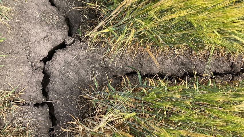
Sounding like the king of all oxymoron definers, Kenny Blumenfeld says parts of Minnesota are experiencing one of the wettest droughts on record.
“I don’t want to downplay the severity of the drought that parts of Minnesota have experienced over the last few years,” says Blumenfeld, a climatologist with the Minnesota Department of Natural Resources. “In order to be classified as being in a drought, you have to have a pretty substantial or long-lasting precipitation deficit, relative to what’s average or normal for that time of year.”
Blumenfeld says parts of southern Minnesota and further north in 2022 experienced the driest June through October on record. “And in some of the precipitation deficits that we have seen this year — going back to mid-May, especially through late July, less so if you include August — but some of those were also kind of historically steep, precipitation deficits for that time of year.”
But, he says those months-long dry spells have been followed by “fairly wet periods.”
“When we look back at this entire multiyear period in the early 2020s, we’re definitely going to say this was a dry period that featured a lot of episodes, at least three episodes of the drought … But it’s also been interrupted by fairly wet conditions each year,” he says.
All in context
For example, Blumenfeld points to the Cannon River watershed area which includes the Northfield, Morristown and Red Wing areas in Minnesota. Acknowledging that 2023 is still ongoing, he says 2021 was the worst of the current three-year drought period. “By this time by mid-August 2021, we had a large area of red, or extreme, drought covering much of northern Minnesota. Almost total coverage of moderate and severe drought everywhere else, and even a little stripe of what’s called exceptional drought in northwestern Minnesota. So that was your worst year.”
For context, again focusing on the Cannon River watershed, about 25.5 inches of precipitation fell throughout all of 2021. Normal precipitation annually based on the averages from 1991 to 2020 would be about 33.25 inches for the watershed. “What that means is the precipitation in 2021 was about 7.75 inches below normal in the Cannon River area,” he says. “So, it’s very dry. Those are pretty large deficits, maybe 30%, 28% below normal.”
While 2021 was one of the watershed’s driest years, two years prior was one of the wettest, when 47.5 inches of precipitation fell in 2019, making for a 20-inch drop in precipitation between those two years. “When you look at it on a graph, it appears to be this remarkable downturn,” he says. “But when you look at all other dry periods, downward spikes, 2021 is really just the 28th-driest year on record for the watershed — meaning that you can find 27 other years that had less precipitation, which tells us that as bad as this drought was, it’s not been historically significant in terms of its lack of precipitation.”
Again, not to downplay the severity of the current situation, Blumenfeld says 2022, though “very dry, with below-normal for precipitation” ranks as the 41st-driest year on record in the watershed.
Blumenfeld reiterates that 2019 was the watershed’s wettest year on record, and 2016 was the second-wettest year on record, “both by quite a large margin separating them from No. 3 and No.4.”
‘The wettest dry period’
This past decade has shifted to a much drier period than the previous decade.
“In the 2010s we had a No. 1 and No. 2 event for wetness; and so far in the 2020s, we’ve had a No. 28 and a No. 41 event for dry,” he says, “So again, to put it all back into some perspective, we’re used to having more rain, our averages have gone up, and certainly conditions have gotten warmer, so we need more water. … We are feeling the effects of these precipitation deficits — but in terms of the amount of precipitation that is falling, this is really one of the wettest, if not the wettest, dry periods on record in this region.”
About the Author(s)
You May Also Like


