July 16, 2018

We are in an era of agriculture where big data is the big thing. We can track and analyze just about every aspect of agriculture. Sure, we’ve always looked at yield and market trends, but now we can pull in all sorts of facts, correlate them into field images to help pinpoint issues in specific locations, and then determine returns down to a fraction of an acre.
Considerable skill is needed to determine what types of data will give you the answers to manage your fields. Once you have the data, the ability to interpret the resulting images involves both science and art. For sure, using big data and advanced imagery tools is exciting and powerful.
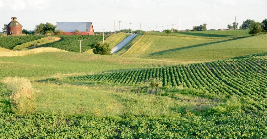
At the Natural Resources Conservation Service, we have always relied upon imagery to do our conservation work. One selling point of NRCS conservation planning was getting a good photographic base map of your farm. We still rely on the same type of photographic base imagery today. We now have many years’ worth of digitally scanned fields from old compliance photographs. Those images tell a story of the history of land that is invaluable. Even now we use these aerial photographs, coupled with weather data, to identify farmed wetlands and ephemeral gully erosion for conservation compliance.
NRCS couldn’t have conducted soil mapping without aerial photography as a base map. I can remember working with old photography from the ’30s and ’40s. The photos had warnings stamped on the back because they represented a security risk during World War II.
High-def comes full circle
I can also remember the science — and art — of using a stereoscope on two overlapping photos to bring out a 3D image so we could more accurately delineate topography for soil maps. That was especially helpful in areas with a lot of trees. Now we use images created by light detection and ranging (LiDAR). High-definition LiDAR can give us images that project topography more accurately than any other type of map. LiDAR data are so versatile they can be filtered in such a way to remove trees and buildings from the imagery so you only see the land forms underneath. Soon, we’ll be able to use LiDAR in place of site-specific surveys for conservation.
With advances in geographic information system (GIS) technology, we have more power at our fingertips than ever before. I envision a time in the not-too-distant future when these data sources replace the erosion prediction tools we currently use. As exciting as it is to put this imagery to use, we can’t be fooled by the power of these data; there are limitations.
LiDAR images are still snapshots in time. Just like the plane that takes a picture, LiDAR data is gathered at a specific moment in time, so it must be updated to make another image (important for disasters or other major landform-changing events, such as construction). Some entrepreneurial companies have picked up on this limitation and now gather images several times during the growing season so experts in image analysis can detect conditions in crop fields soon enough to make adjustments in-season.
It’s an exciting time for our use of big data. At NRCS, we do our best to keep up with data-building technology. We teach image interpretation skills to our conservationists, but when it comes to conservation planning, we still see great value in going out and visiting the field for one-on-one communication and ground-truthing. But I’ll admit even then, a drone might help you cover more ground or give you a different perspective.
Dozier is the Illinois state conservationist. Direct comments or questions to [email protected].
About the Author(s)
You May Also Like


