Subscribe to receive top agriculture news
Be informed daily with these free e-newsletters

UAV users and companies in the industry learn how to produce better images.
December 29, 2016
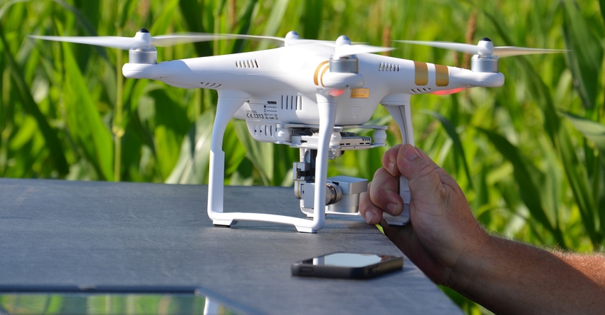
Unmanned aerial vehicles, also called drones, are a hot topic not only in the public’s eyes, but also in the eyes of farmers and agricultural companies. With the advancements that have been made in drone technology and the ability of farmers to see the benefits of stitching together aerial images of their fields, the possibilities for precision farming have increased and inspired many more companies to look into expanding their businesses.
Jim Love, light robotics manager for Beck’s, works with the seed company's drones and picture-stitching technologies.
Collect images
“When a drone flies over a field, it may take up to 300 to 400 images that are 60% to 90% overlap,” says Love. “The tighter the crop canopy means the more images it takes to get the one 10- to 15-megabyte picture.”
The final picture that is produced is called a completed orthomosaic. With the expansion of drones and precision farming, picture-stitching technology has also grown. There are three or four emerging companies that offer this service, as well as programs in which you can stitch your photos together yourself. Beck’s uses dronedeploy.com.
“We like working with DroneDeploy best because they are young, and do not have a background in agriculture,” Love says. “Sometimes their lack of knowledge helps them understand what we want better in our images, which makes them much more customer-driven.”
Image issues
When taking images of fields, the most difficult photos to stitch are soybeans in August because the crop canopy is so full, and it takes more images for the computer to register the field, Love says.
The points of reflectance are what make it difficult to stitch pictures together, because each reflectance point can be of commonality with another densely canopied spot in the field, he notes.
There are certain traits of a field that are easier for computer recognition. Test plots are really easy to stitch, as well as fields with more breaks and pivots. These situations make it easier for the camera to get pictures and for the software to stitch the images together, Love explains.
Future trends
As the industry has grown and precision farming has become more popular, images taken a few years ago with a $25,000 airplane can now be taken with a $1,200 Phantom drone, Love notes. As these changes have occurred, there is no longer a need for high-based computer systems to view the images because the images are now being stored on cloud-based processing on Amazon servers, he adds.
“Beck’s recently become an industrial partner of DJI, which is a company based out of China, for their quadcopters, which have become a really good user grade,” Love says. “Currently we can only get about a third of the amount of acres with the drone battery that we could get from the airplane, but we can still get about 100 acres on a single battery.”
Just as things are always changing in every industry, the agriculture industry is no different. With more and more farmers gaining interest in precision farming, the industry is ever growing and thriving, Love concludes.
Jones a senior in ag communication at Purdue University.
You May Also Like
Current Conditions for
56°F
Partly Sunny
Day 60º
Night 52º
Enter a zip code to see the weather conditions for a different location.


