California water conditions continue to improve as more of California is removed from drought designations.
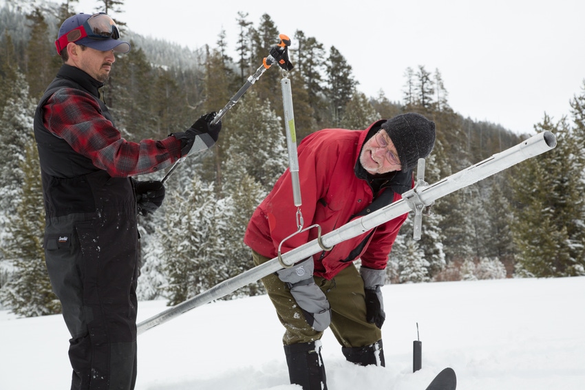
Sierra snowpack is a good indicator of this as January added over 20 inches of water content to the snowpack at one of hundreds of sites manually inspected by the California Department of Water Resources (DWR) each winter. Over the last month the snow depth at Phillips Station near South Lake Tahoe increased significantly, boosting the water equivalent to over 28 inches. On Jan. 3 that figure was just six inches.
Electronic readings of the Sierra snowpack show even better news as the average water equivalent spread across 101 stations was 31 inches as of Feb. 3. This is 173 percent of normal, according to DWR. One month earlier the average across the Sierra was just 6.5 inches.
Frank Gehrke, chief of the California Cooperative Snow Surveys Program called the February measurement “a very good snowpack.”
Since the beginning of the water year on Oct. 1, California has seen more than its annual average precipitation at the eight stations DWR measures across northern California. As of Jan. 20, the index exceeded its 50-inch annual average.
The October through January period saw 53.2 inches of precipitation across the region. This compares to the 58.22 inches seen in the epic El Niño of 1997.
Other watersheds are doing as well or better. San Joaquin Basin rainfall is 204 percent of average for the date while that figure in the Tulare Basin is 207 percent.
State Climatologist Mike Anderson warns not to bet the farm on continued wet conditions as recent history has shown the rain spigot can turn off as fast as it turns on.
“In the last 10 water years, eight have been dry, one wet, one average,” says Anderson. “Hopefully this year will end up being wet, but we cannot say whether it will be one wet year in another string of dry ones.”
Still, the news is positive for this period in the season as water conditions in major reservoirs likewise look good. Shasta Lake in northern California holds about 3.5 million acre feet of storage, one million acre feet below capacity, as Bureau of Reclamation officials balance current storage with what remains in the snowpack in the lake’s extensive watershed.
Lake Oroville, which gets much of its water from the Feather River, climbed about 800,000 acre feet in storage in the past month, despite flood control releases into the river.
San Luis Reservoir, the off-stream site south of the San Joaquin/Sacramento River Delta, has seen a storage increase as officials boosted pumping at times. Storage is up about 500,000 acre feet since the first of the year with a total of over 1.7 million acre feet. Capacity is 2,041,000 acre feet.
About the Author(s)
You May Also Like


