June 14, 2013

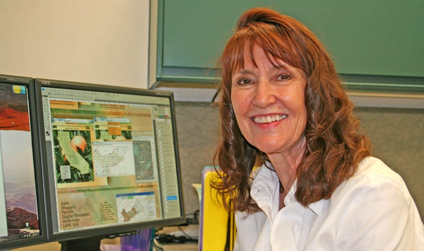
When the University of California decided to provide geospatial support to its scientists at the UC Kearney Agricultural Research and Extension Center in 2000, they tapped Kris Lynn-Patterson, an experienced teacher and information systems technologist, to lay the groundwork. Geographic information systems academic coordinator Lynn-Patterson retires in June.
Lynn-Patterson earned bachelor's and master's degrees in geography/climatology at Fresno State University and taught weather, climate landforms and global information systems classes there as a full-time lecturer for five years and part-time at State Center Community College for 10 years.
In 1990, while still teaching part time, she took a new position as a climatologist with a crop insurance firm.
"We were embarking on a brand-new initiative in the crop insurance business using remote sensing and spatial imagery to appraise losses from weather events," Lynn-Patterson said.
In 2000, she again broke ground by introducing geospatial technologies to agricultural research at Kearney. Geospatial technologies now allow scientists to take a broader view of landscapes than is possible from the field level.
For example, Lynn-Patterson worked with Pete Goodell, UC Cooperative Extension advisor with the Statewide Integrated Pest Management Program, to understand the migration of lygus bugs through the San Joaquin Valley's mosaic of diverse crops. In the spring, lygus can reproduce in lush vegetation on foothills surrounding the San Joaquin Valley. As the plants dry when the weather warms and rain stops, the lygus begin looking for a new home in valley agriculture, including cotton, which suffers severe economic losses from lygus.
By combining observations made on the ground with GIS mapping technology, Goodell was able to determine the areas in the San Joaquin Valley where cotton is most likely to have lygus problems in mid-summer. Where alfalfa is scarce, cotton fields absorb the migrating bugs. But where alfalfa is close to cotton fields, the alfalfa acts as a lygus sponge and spares cotton most of the damage.
Recently, Lynn-Patterson and her staff, in collaboration with the Citrus Pest and Disease Prevention Program, have been engaged in mapping cropping patterns in the Central Valley citrus belt. This geographic database will provide information needed to ensure quick action when Asian citrus psyllids or huanglongbing disease is found.
Last year, the Kearney GIS program became part of a larger UC Agriculture and Natural Resources statewide program called Informatics and Geographic Information Systems. IGIS is organizing and preparing data pertaining to agriculture and natural ecosystems statewide and making the information accessible on the web.
Lynn-Patterson has a full retirement planned. She is establishing a non-profit animal rescue organization, "Four Feet Inn," that will connect homeless dogs, horses and other animals with foster families.
"My goal is to find a path to get animals off the street and into no-kill shelters," Lynn-Patterson said. "I love animals and I love people who want to help animals, so facilitating this connection is what my spirit wants to do."
Lynn-Patterson is also pursuing a writing career. She has already completed the first novel in a trilogy and begun work on the second. Both of these hobbies she plans to combine via the Internet with travels around the United States and Canada in a motor home.
More from Western Farm Press
Wine grape drone flying over California vineyards
Days of wine auctions and gay marriage
Agriculture's burden of technological intolerance
Drip-tape salvation for California farmers?
You May Also Like


