Subscribe to receive top agriculture news
Be informed daily with these free e-newsletters

Helps farmers, real estate professionals and lenders
September 29, 2016
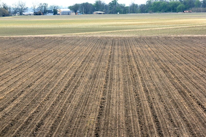
An improved online tool gives information from many sources on land tracts. The free Ag Site Assessment Tool web application offers data on physical, cultural and environmental characteristics of land. It is available at AgSite.missouri.edu.
Developed by University of Missouri Extension, the application pulls data from many sources into an easy-to-read report, says MU Extension agricultural economist Ray Massey.
Users can verify acreage, get legal descriptions and learn of risks that might affect property development such as the presence of wetlands, Massey says.
Farmers, investors, real estate professionals, lawyers and others can find many layers of public data easily, he says.
“Farmers, bankers and others can locate and outline fields from detailed aerial maps. With the click of one button, you can get a report about soils, waters, how many people live near the property and other issues such as endangered species living on the land,” Massey says.
Massey says the tool alerts users to risks that might limit land usage. They can verify if land is subject to the federal 2015 Clean Water Rule (“Waters of the United States”). The site also lists nearby watersheds, wetlands and ponds.
Recent additions include climate information and cropping history. Users who have not run a report in the last several months will benefit by updating their personal report, he says.
A video on using the tool is available at vimeo.com/159505362.
MU’s Missouri Crop Resource Guide decision tools page, at crops.missouri.edu/tools, offers additional resources to help farmers reduce risk.
The North Central Extension Risk Management Education Center provided funding for website development.
You May Also Like
Enter a zip code to see the weather conditions for a different location.


