Subscribe to receive top agriculture news
Be informed daily with these free e-newsletters

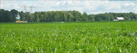
Here's a classic example of how past history can influence yield decades later.
Randy Overman is never surprised when the yield maps for a large field near his house show a few distinct, lower-yielding areas. In fact, the surprise would be if they didn’t contain some lower-yielding spots in distinct circles. The areas only make up a tiny portion of the field; the fact that they are there is what's significant. The late Paul Harvey could have included this situation in his famous "The Rest of the Story" broadcasts.
“The corn wasn’t as tall in that particular area when we applied nitrogen before tasseling this year,” says Overman, who farms with his son Aaron south of Peru. He adds, however, that it’s never as tall in those particular spots.

OH, THAT EXPLAINS IT! The yield map shows a dip in yield in this small area of the farm every year, Randy Overman says. Without prior knowledge of the field's history, this would be a "head-scratcher."
Clint Harrison, a district conservationist with the Natural Resources Conservation Service, says now is a good time to review yield maps and see what could be done differently next year. He also notes that besides yield maps, you need to look at other factors that could influence yield. One of those concerns past practices in the field.
Poster child
The Overmans' field is the poster child for how past practices can still affect yield many years later. In this case, Overman says it’s been more than 70 years since changes were made that still affect the land today.
So what is the secret that only Overman and a few locals know? "Grissom Air Force Base is just a few miles west of our farm,” he begins. “During World War II, the government set up a naval air base there.
“As I understand it, parts of this field beyond my house were altered to form auxiliary air strips for the main base. The top was scraped off and the land was leveled. Rings of rocks were also laid down in the area. We’re talking No. 2 stones — big rocks.”
Once World War II ended, the government decided it no longer needed the land. So it sold it back to farmers. Even land on the present Grissom Air Force Base reverted to farming for a short time. Eventually, the base was reactivated (see graphic). However, Overman’s land was not reacquired.
Short of excavating the area, removing rocks and hauling in topsoil, there’s no good fix for these yellow and red areas on the yield map. “We know why they are there,” Overman says. “It’s amazing that it happened that long ago and still shows up today.”
Grissom Air Reserve Base at a glance
Year founded: 1942
Original name: Naval Air Station Bunker Hill
During WWII: U.S. Navy, Marine and Coast Guard pilots trained there, including baseball star Ted Williams.
After WWII: The base closed after the war, and the land reverted to farming.
Transfer to Air Force: In response to the Korean War, the Air Force obtained right of entry to 25 buildings from the Navy in 1951. The Air Force officially opened the base as Bunker Hill Air Force Base in 1954.
Renaming: The base was renamed to honor the late Gus Grissom in 1968.
Current status: The base was renamed as the Grissom Air Reserve Base in 1994, and continues in that role today.
Source: Wikipedia
You May Also Like
Enter a zip code to see the weather conditions for a different location.


