Subscribe to receive top agriculture news
Be informed daily with these free e-newsletters

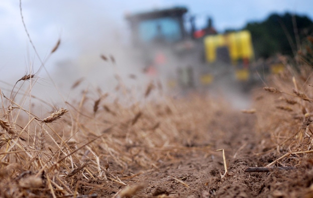
Hot and dry conditions during critical point in the growing season is looking more and more like a reality that has to be dealt with.
June 23, 2015
According to the last U.S. Drought Monitor, drought is starting to creep back into the Southeast. The latest map released June 18 designates a large portion of south Georgia and north Florida as “abnormally dry.” Some counties in southeast Georgia and Northeast Florida are classified as in “moderate drought.”
Rainfall over the last 30 days has lagged behind over much of south Georgia and north Florida, with only spotty coverage from the normal afternoon thundershowers. Areas centered around Tallahassee and Jefferson County, FL and northeast Florida have 30-day deficits approaching four inches or more.
The reason is that the Southeast has been dominated by a deep-layer high pressure ridge that has led to temperatures in the upper 90s and suppressed thunderstorm formation. This same high pressure system was responsible for blocking any moisture from tropical storm Bill from affecting the region. Thundershower activity in the past few days has been limited to near the Gulf Coast where the seabreeze initiated formation. Areas further from the coast remained mostly dry.
Looking further ahead, mid-range weather models from both NOAA and the European Center forecast the ridge to grow even stronger over the Southern United States (during June) and bring more scorching temperatures. This is not good news for area growers, as the high temperatures stress crops and lead to much higher evapotranspiration rates that deplete soils of moisture.
Also, higher daytime temperatures usually go hand-in-hand with less rainfall and thunderstorm activity during the summer in the Southeast.
El Nino has continued to gain strength in the Pacific Ocean and now is close to being considered a “Strong” event. The connections to the atmosphere, circulation and weather patterns are also will-established right now, as El Nino helped direct moisture from the tropical Pacific to Texas and Oklahoma, where they had widespread flooding and record rainfall in the month of May.
Looking closer to home, a strong El Nino is not good news for the Southeast. A composite analysis from similar early starting and strong El Nino events shows that the Southeast often responds with a dry late summer (July – August). NOAA’s latest 3-month seasonal outlook was released June 18 and is consistent with the idea of less rainfall over this region.
Hot and dry conditions as we approach the most critical point in the growing season is not something anyone wants to hear. Unfortunately, it is looking more and more like a reality that has to be dealt with. The forecast can change and weather prediction has very little skill in the two-four week horizon. Tropical storms or disturbances are also a wildcard that cannot be predicted or anticipated at this time, but could impact the region as hurricane season heats up. But for right now, hot and drier is a good possibility for the next two weeks or so and it could persist well into the second half of summer.
You May Also Like
Enter a zip code to see the weather conditions for a different location.


