If you live in northern Indiana and see three or more professional-looking people driving the back roads, stopping at specified points and staring at the landscape, don’t assume they’re just taking an afternoon off from work. One person in the car could be Ben Eaton, part of a crew conducting a tillage transect.
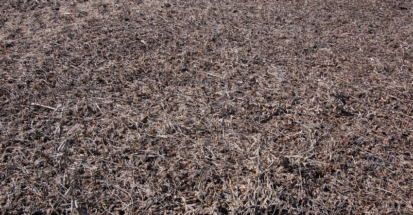
“We drive a specified route each time we do it and stop at predetermined points,” Eaton explains. “We always follow the same route. When we make stops, we look at the fields around us and determine what type of tillage system is being used in each field. If there are cover crops growing in the field, we record that information, too.”
Eaton is a resource specialist with the Indiana Division of Soil Conservation, part of the Indiana State Department of Agriculture. He’s based in Crown Point, and serves Lake, Jasper, Benton, Newton and White counties. He works alongside employees of the Natural Resources Conservation Service and staff of local soil and water conservation districts. Usually, a representative of each group plus someone from the local Extension service helps with tillage transects.
“Since we do a windshield survey at the same spots each time, we get a good feel for changes and trends over time,” Eaton says. “That’s what makes the information valuable.
“Today, we’ve also started recording if there’s a cover crop in the field. We’re finding that varies quite a bit from county to county.”
Valuable information
Tillage transects were once conducted in many states, but Indiana is one of the few states still doing them, Eaton says. View tillage transect data at in.gov/isda/2383.htm.
Here are key points gleaned from studying data based on tillage transects, as reported by ISDA.
One-third of Indiana crop acres are no-tilled. Based on 2017 transect data, a combined 4 million acres, counting both corn and soybeans, were no-tilled — about a third of Indiana’s crop acres. That’s up from less than 10% of Indiana crop acres in 1990, but down from a peak of over 4.5 million acres reached around 2006.
About half of all soybeans are no-till. No-till soybeans peaked at 70% around 2007 and have declined steadily since then, standing at 50% in 2017.
One in 5 corn acres are no-tilled. That’s up 10% from 1990 but about the same in 2017 as in 1993. No-till corn peaked near 30% in 2015.
Conservation tillage dominates. About 15% of both corn and soybeans were grown under conservation tillage in 1990. Conservation tillage is defined as any system that leaves at least 30% residue after planting. In 2017, about 70% of all soybeans and 30% of all corn were raised in a conservation-tillage system.
Cover crop acreage is growing. Cover crop acreage after corn and soybeans grew from 184,000 acres in 2011 to 983,000 acres in 2018.
About the Author(s)
You May Also Like


