October 4, 2019

This year marks the 80th anniversary of Minnesota’s driest ever November.
As the famous Dust Bowl Era of the 1930s began to abate with wetter years prevailing in 1937 and 1938, Minnesota farmers had been more hopeful for good yields of crops in the 1939 growing season.
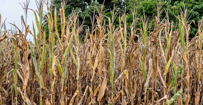
Following a reasonably good planting season in the spring of 1939, rainfalls were mostly ample through the month of August, but then the weather pattern turned dry for the balance of the year. September brought less than half of normal rainfall to most places, then despite a slight increase in overall rainfall, October turned out to be drier than normal as well.
Although crop yields were an improvement over many previous years of the 1930s, they were not what was hoped for. The only benefit was that field drying conditions were excellent so there was very little pre-harvest field loss. The combination of November and December precipitation on a statewide basis was also the driest in state history.
Twenty-five climate stations, many with long-term climate records back to the 19th century, reported either zero precipitation or just a trace of precipitation for the month of November. Another 60 climate stations reported less than a tenth of an inch for the month.
Only three climate stations, Mahnomen in Mahnomen County, and La Crescent and Beaver in Winona County, reported over half an inch of precipitation. Even those places that got over half an inch of rain or snow only reported three to four days with something in the rain gauge.
Faribault and Waseca, communities located in primarily agricultural landscapes of southern Minnesota, reported no precipitation at all. Further, these locations reported only two days with precipitation during the following month of December, ending the year with extremely dry soils.
The Palmer Drought Severity Index in southern Minnesota changed from -1 (near normal) in August to nearly -4 (extreme drought) by November, a remarkable short-term change.
Unfortunately, this weather pattern continued over into the spring and early summer of 1940 which saw extreme drought prevalent across much of Minnesota. Yet, better luck came along as the weather pattern turned wet by mid-summer and the drought was completely alleviated by August of 1940 helping farmers see decent crop yields that year.
November precipitation alone, as well as the November-December combination of 1939, remain the driest in state history by a significant margin. The statewide average precipitation for the two months was less than half an inch. The next-driest November-December combinations were in the years 1976, 1999 and 2002 with statewide averages between 0.65 and 0.75 inches.
Given that 2019 has been a record-setting year for precipitation across several counties of Minnesota, it may be hard for many farmers to imagine such dry weather ever prevailing like this again.
Seeley is professor emeritus of climatology, University of Minnesota
About the Author(s)
You May Also Like


