

Subscribe to receive top agriculture news
Be informed daily with these free e-newsletters

Northern California is already above the record water year of 1982-83 with over two months left in the season.
Stereotyped as the state is on a number of fronts – and perhaps well-deserved for some – California still seems to surprise people when it comes to our weather.
Take for instance last winter and all that rain and snow that fell on the state.
The state measures rainfall in three water basins: the northern Sierra, San Joaquin River watershed and the Tulare basin watershed. Eight stations collect precipitation data in the northern Sierra, five in the San Joaquin watershed and six in the Tulare basin.
Add to this the dozens of stations scattered around the state that collect precipitation and it’s difficult to believe the anti-agriculture hyperbole that California grows food in a desert.
Though the water year won’t end until the last day of September, precipitation is already trending high across the three watersheds with the northern Sierra already at No. 1 with about 10 weeks to go in the water year.
Starting in the south, the Tulare basin is tracking well-above average with over 46 inches of precipitation as of late July. This currently does not put the basin on track for the wettest year as that happened in 1969 with 56.3 inches of rain, but it does put it on the doorstep of the top-5 wettest years.
At over 71 inches, the San Joaquin River watershed already has the region firmly in second place, behind the 1983 season, which saw 77.4 inches of precipitation fall across the five stations.
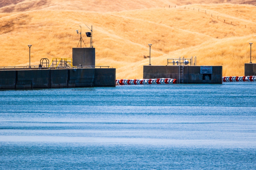
Noteworthy in the San Joaquin River watershed is news that Millerton Lake, which is formed by Friant Dam a few miles northeast of Fresno, began to overflow earlier this month as the reservoir reached its capacity of 520,500 acre feet of water.
The reservoir surpassed that level by about 1,500 acre feet as water began to flow over the top of the spillway. Those uncontrolled releases into the San Joaquin River were added to over 7,000 cubic feet per second of releases from the bottom of the dam that eventually took the lake level below 100 percent capacity.
The eight stations in the northern Sierra, from just south of Lake Tahoe to Mt. Shasta, look to have put California’s wettest season of 1982-83 in second place as more than seven feet of precipitation – 94.2 inches – has already fallen across the region.
That’s not all. Other locations around the state also saw the following as of late July:
Nearly 100 inches of rain at Shasta Dam;
More than 100 inches of precipitation at several locations along the American River east of Sacramento; the largest of these was nearly 160 inches;
Over 100 inches of rain at several locations on the Stanislaus River east of Modesto; and,
At least 111 inches of precipitation at two locations on the San Joaquin River above Millerton Lake.
Of course not every year is like this, which is all the more reason for California to find within itself the political will and public drive to repair our broken water infrastructure and construct new storage facilities to capture water in years like this so we can perhaps lessen the severity of the next drought.
You May Also Like
Enter a zip code to see the weather conditions for a different location.


