Efforts are underway to update topography data of the Red River watershed.
The Red River Watershed Management Board (RRWMB), Ada, Minn., and partners are collecting new Light Detecting and Ranging (LiDAR) data to create current models of the terrain surface and aboveground features in 3D. RRWMB and partners use LiDAR measurements when planning and implementing flood mitigation and habitat restoration projects.
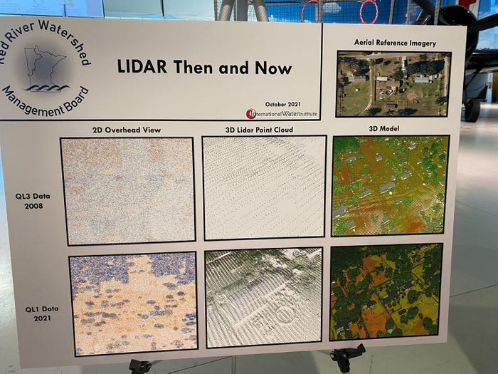
 HIGHER RESOLUTION: This board shows examples of how much more detail is captured in LiDAR today, comparing images from 2008 and 2021.

LiDAR is a remote sensing method used for measuring the exact distance of an object on the Earth’s surface to the LiDAR-emitting source. Aircraft fitted with LiDAR technology are capturing the data.
“After the 1997 flood in the Red River basin, flood and emergency managers realized that there was a need to be able to develop maps and information to guide decisions during these types of situations,” explained Robert Sip, RRWMB executive director, at an Oct. 27 RRWMB meeting. “That flood ultimately led to 15 groups, including the Red River Watershed Management Board, coming together to collect the first ever LiDAR data from 2007 to 2009.”
Today’s LiDAR data much more accurate
Technology today provides much greater accuracy. Detailed LiDAR measurements offer higher-resolution elevation data for floodplain modeling, as well as high-resolution surface roughness information.
“We are moving from 6-inch accuracy to less than 4 inches,” Sip added.

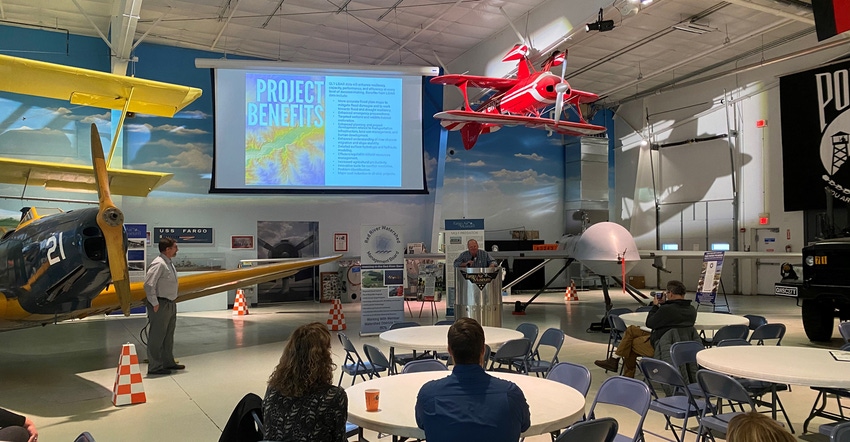
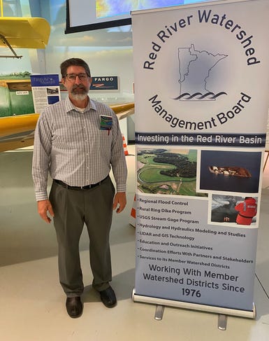
WATERSHED LEADERSHIP: Robert Sip, RRWMB executive director, was one of the presenters at the Oct. 27 event.
As of early November, data collection was around 70% complete. The project covers 20,034 square miles, with about two-thirds of the Red River LiDAR project on the Minnesota side. RRWMB member watershed districts involved in the project are Bois de Sioux, Joe River, Middle-Snake-Tamarac Rivers, Red Lake, Roseau River, Two Rivers and Wild Rice. Counties included are Big Stone, Clearwater, Grant, Otter Tail, Stevens and Traverse. North Dakota is updating its LiDAR data separately from Minnesota, Sip said.
The total original LiDAR project cost for both states in 2007-09 was about $5.5 million. This time around, Minnesota’s investment is $2.3 million.
Along with improved floodplain maps, RRWMB and partners would use the LiDAR data to help target wetland and wildlife habitat restoration; enhance planning and project development related to transportation infrastructure; enhance understanding of river channel migration and slope stability; and identify problem areas.
RRWMB already is working on one example of expanded LiDAR data use. The board has contracted with the International Water Institute in Fargo, N.D., to develop several LiDAR-derived products from the raw data. These products will be used to help local water and natural resource managers make informed decisions on projects as they are being developed.
And refreshed LiDAR data for agriculture?
“LiDAR data is important to anyone doing agricultural drainage, as the elevation data is now much more accurate,” Sip added.
For more information on RRWMB, visit rrwmb.org.
About the Author(s)
You May Also Like


