

Subscribe to receive top agriculture news
Be informed daily with these free e-newsletters

How much improvement did recent rains bring?
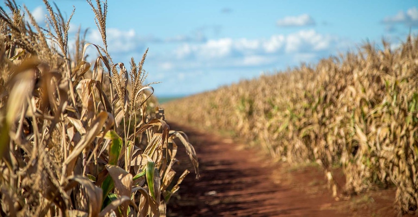
Ample rainfall has fallen over large swaths of the Plains and Midwest over the past week. How much impact did that precipitation make on areas of lingering drought or abnormal dryness? The latest U.S. Drought Monitor, released October 12, offers some answers.
According to NOAA meteorologist Anthony Artusa, last week’s rains did in fact deliver some measurable drought relief. Here are his observations in some particular geographies:
Minnesota/Iowa/Wisconsin – around 3” to 4” of rain fell where these three states meet, Artusa notes. “This resulted in a (mostly) one-class improvement in the drought depiction across this area.
Iowa – most of the state saw one-class drought improvements except for the southeastern part of the state, which has received little rainfall over the past 5 to 6 weeks.
Illinois – drought removal occurred south and east of Decatur, following 3” to 5” inches of rainfall in that area.
Minnesota – the southeast corner saw relief, but that was the only part of Minnesota that did.
Missouri – Some areas received 2” of rainfall and saw one-category improvements.
Kansas – 1” to 3” of rainfall in the north and central part of the state contributed to one-category improvements.
Nebraska – some areas of D1 drought (moderate drought) were removed in the southeastern part of the state.
South Dakota – some small areas of D0 drought (abnormally dry) were trimmed following some rainfall in the eastern part of the state.
Looking ahead, more rain in the forecast means an opportunity for more drought removal, Artusa says.
“During the upcoming 5-day period (through October 16), a band of heavy rain is predicted from southeastern Iowa across Lower Michigan to extreme northern Maine, with similar totals anticipated over extreme southeastern Florida, and the Cascades of the Pacific Northwest,” he says. “One to two inches of rain is forecast over portions of the mid-Atlantic region. This raises the possibility of drought relief next week from the Midwest into northern Maine.”
Further out, through Oct. 21, Artusa says the odds are in favor of below-normal precipitation in the Great Plains, Ohio Valley and central Great Lakes regions, among other areas.

Drought Monitor
For more information, visit droughtmonitor.unl.edu.
You May Also Like
Enter a zip code to see the weather conditions for a different location.


