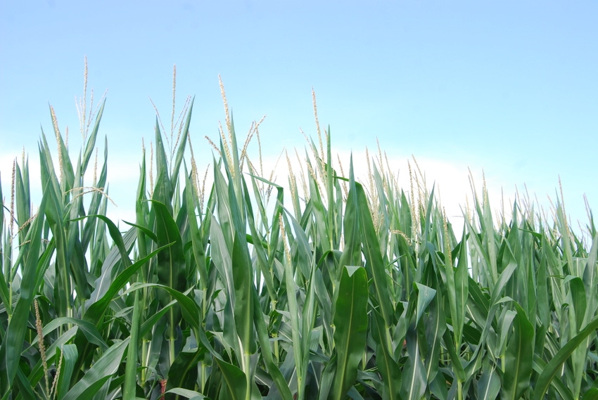
USDA released its weekly crop progress report July 17 and for Iowa it reflects some stress to both crops and livestock from the ongoing dry weather pattern. South-central and southeast Iowa are currently the driest parts of the state, with more than 85% of topsoil moisture rated short or very short in those areas. Parts of northwest Iowa are also quite dry.
Statewide, corn conditions deteriorated slightly to 1% very poor, 5% poor, 23% fair, 58% good and 13% excellent for the week ending July 16. Soybean conditions are rated 2% very poor, 8% poor, 27% fair, 54% good and 9% excellent.
Excessive heat pulling moisture from fields
Aaron Saeugling, Iowa State University Extension agronomist in southwest Iowa, says hot weather forecast for the rest of this week doesn’t favor maximum yield. “We’ll continue to watch this crop deteriorate if the forecast holds. Excessive heat will continue to pull moisture from the ground. It’s going to be a battle for crops that have been challenged throughout the growing season. We need below-average temperatures to maximize yields, and it doesn’t appear that is going to happen this year.”
Nationally, corn, soybean and spring wheat conditions all declined last week. USDA now rates 64% of the U.S. corn crop good-to-excellent, down from 65% the previous week. Soybeans saw a 1% drop in good-to-excellent conditions, from 62% the previous week to 61% as of July 16. Condition of the nation’s spring wheat crop declined 1%.
The complete weekly crop and weather report is available on the Iowa Department of Agriculture and Land Stewardship’s website IowaAgriculture.gov or on USDA’s site nass.usda.gov/ia. The report summary follows here.
Summary of Iowa crop conditions
Hot, dry weather continued across the state with a few reports of notable precipitation during the week ending July 16, according to USDA’s National Ag Statistics Service. Statewide there were 5.8 days suitable for fieldwork. Activities for the week included hauling grain, applying herbicides, cultivating and haying.
Topsoil moisture levels rated 18% very short, 33% short, 48% adequate and 1% surplus. Over 85% of south-central and southeast Iowa’s topsoil falls into the short to very short moisture level categories, while 90% of northeast Iowa’s topsoil falls into the adequate to surplus categories. Subsoil moisture levels rated 13% very short, 29% short, 57% adequate and 1% surplus.
Corn, soybean conditions decline slightly
As of July 16, the weekly statewide survey shows 37% of Iowa’s corn crop has reached the silking stage, five days behind last year and two days behind the five-year average. Corn conditions deteriorated slightly to 1% very poor, 5% poor, 23% fair, 58% good and 13% excellent. A little over half of the soybean crop was blooming, with 11% of soybeans setting pods, which is equal to the average. Soybean condition also fell to 2% very poor, 8% poor, 27% fair, 54% good and 9% excellent.
Virtually all the oat crop has headed with 79% turning color or beyond, five days behind last year. And 18% of oats for grain or seed have been harvested, six days behind last year and average. Oat condition rates 72% good to excellent. Crops were described as suffering from heat stress and lack of moisture across much of the state.
The second cutting of alfalfa hay reached 76% complete, eight days ahead of average. Hay condition is rated 64% good-to-excellent. Scattered reports of third cutting of alfalfa were received. Pasture condition continued to decline with just 46% good-to-excellent. High temperatures and humidity were reported to cause heat stress to livestock.
Weather summary for Iowa
Last week was another week of mostly warmer-than-normal weather with highly variable rain totals. Harry Hillaker, state climatologist with the Iowa Department of Agriculture and Land Stewardship, provides the following summary.
Hot and humid weather predominated from July 9-12 and again over the following weekend. Humidity and temperatures were somewhat lower on July 13-14. Temperature extremes varied from a July 10 afternoon high of 98 degrees F at Ottumwa (the highest official temperature thus far this summer in Iowa) to July 14 morning lows of 49 degrees at Estherville and Swea City.
Statewide average 1.5 degrees above normal
Temperatures for the week as a whole averaged from 1 to 2 degrees below normal across the northeast one-third or so of Iowa to 3 to 5 degrees above normal over the southwest one-third. Statewide average for the week ending July 16 was 1.5 degrees above normal.
Just about all of last week’s rain fell between early morning on July 10 and the morning of July 13. Thunderstorms brought rain to about the northeast one-half of the state the morning of July 10, with totals of 1 to 2 inches common along and just east of a Mason City-Iowa City-Burlington line. Thunderstorms brought scattered rainfall from west-central through central to southeast Iowa on the morning of July 11, with a few small areas seeing more than an inch of rain.
Weekly totals varied from sprinkles to heavy rains
A small area of thunderstorms developed across extreme northeast Iowa late in the night on July 11 into the morning of July 12, with 6.35 inches of rain recorded at Garber with still greater unofficial amounts reported in far southeastern Clayton County, resulting in significant flash flooding. Finally, rain fell over most of the southeast two-thirds of Iowa on July 12 into the morning of July 13, with some locally heavy rains in far southwest and extreme southeast Iowa.
Weekly rain totals varied from only sprinkles in extreme northwest Iowa to 7.03 inches at Garber. Statewide average rainfall was 0.86 inch while normal for the week is 1.05 inches. Rock Rapids has recorded only 0.01 inch of rain thus far in July, while Keosauqua at the opposite end of the state has recorded only 3.50 inches of rain since May 11; that’s 7.03 inches less than normal for the period.
About the Author(s)
You May Also Like


