Subscribe to receive top agriculture news
Be informed daily with these free e-newsletters

How long will unseasonably warm weather keep it at bay?
Now that it’s October, shouldn’t frosty fall weather be in the forecast? Not necessarily – at least not for a while in the Midwest, which will be experiencing unseasonably warm weather with daytime highs in the low to mid 80s in many places to start the week.
Even so, cooler weather should arrive soon enough, whether that be a frost, freeze or hard freeze. The National Weather Service offers some nuance regarding the following fall weather phenomena.
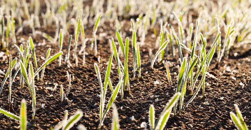
Frosts occur when temperatures are around 33°F to 36°F and when solid surfaces are cooled below the dew point. Minor plant damage is possible.
Freezes occur when the air temperature is 32°F or lower. Moderate plant damage is possible, depending on how long temperatures stay below freezing.
Hard freezes occur when the temperature falls to 28°F or below for several hours.
The first 32°F freeze, on average, occurs in the Rocky Mountains, northern North Dakota and northern Minnesota between Sept. 21-30. Much of the Midwest sees its first hard freeze sometime between Oct. 1-20.

Despite the recent run of warmer-than-average weather, 2017’s map of “first fall freezes” lines up more or less with climatological median dates so far.

Moving forward, there are additional frost/freeze advisories out West for October 3. But for the bulk of the country, that weather may take longer than normal to arrive. NOAA predicts warmer-than-normal temperatures for the eastern two-thirds of the U.S. for the remainder of the month.
You May Also Like
Enter a zip code to see the weather conditions for a different location.