
Subscribe to receive top agriculture news
Be informed daily with these free e-newsletters
August 4, 2017
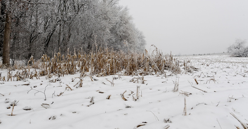
Snow is rare in October and much more common in November. It can, on occasion, disrupt harvesting in a year when crops mature late, are extremely slow to dry down, or soils are too wet for combines to operate.
However, snowfall is especially unusual in September. Across much of central, western and southern portions of Minnesota, a measurable September snowfall occurs about once every 50 years.
Of course, it is accompanied by very cold temperatures, 20 to 25 degrees F below normal for September, and with widespread frost. When snow occurs that early, it is short-lived and does not cause delays in crop harvest. Further, it is never of sufficient quantity to require the deployment of snowplows.
The only exception to this case was in 1942.
During one of the coldest and wettest months of September in state history, a winter storm crossed Minnesota over Sept. 25-26. It brought rain, freezing rain, sleet and snow. Snow accumulated on the ground all the way from the Iowa border north to the Red River Valley.
Travel was affected by the snow, causing numerous traffic accidents and train and bus delays. Ice accumulated on power lines and caused outages in many areas of the state — especially in west-central Minnesota, where winds were strongest at more than 40 mph. Trees, still fully leafed out from summer growth, suffered breakages from the weight of heavy snow.
Call out the snowplows
Some of the heavier amounts of snowfall included Sauk Center (Stearns County) with 9 inches, Bird Island (Renville County) with 8 inches, Long Prairie (Todd County) with 7.5 inches, and Willmar (Kandiyohi County) and Detroit Lakes (Becker County), each with 6 inches of snowfall. Temperatures hovered in the mid to upper 30s during the storm, then fell into the 20s overnight, prompting some snowplowing on major roads because it was a Friday night with a good deal of traffic. Temperatures on the second night after the storm fell into the teens and 20s, causing ice to form on the wet roads.
Agricultural reports after this storm mentioned widespread frost damage to the millet crop and to late-planted corn and soybean fields. In northwestern counties, it was reported that potatoes were frozen into the ground.
Fortunately at the end of the month, daily temperatures rebounded into the 60s, leading to the snow melting and infiltrating the soils. By the first week of October, daily high temperatures climbed to 70 degrees F or higher. A dry, favorable interval of weather from Oct. 6 to Oct. 21 allowed for harvesting of the crops that some had feared would never be harvested.
This indeed was a unique chapter in Minnesota’s September weather history.
Seeley is an Extension climatologist with the University of Minnesota.
You May Also Like
Enter a zip code to see the weather conditions for a different location.


