Climatologists report that while a weak La Niña event is forming, it’s difficult to tell what that might mean for Indiana and even Midwest weather patterns from mid- to late fall into winter. Beth Hall, Indiana state climatologist, says there are no strong indicators of what the rest of 2020 might be like, in terms of temperature or precipitation.
Here’s an interview with Hall:
Earlier in the summer, long-range forecasts were calling for cooler, wetter-than-normal weather in August and September. That didn’t happen. Can you explain why? You are correct. Most of August and the first half of September, at least, were warmer and drier than we expected, based on earlier models. Hurricane Laura developed, and when its remnants came through, they disturbed weather patterns the models anticipated. Climate models have no way to anticipate hurricanes. The remnants of Laura didn’t bring rain into most of Indiana and surrounding states, but it affected weather patterns that might have done so.
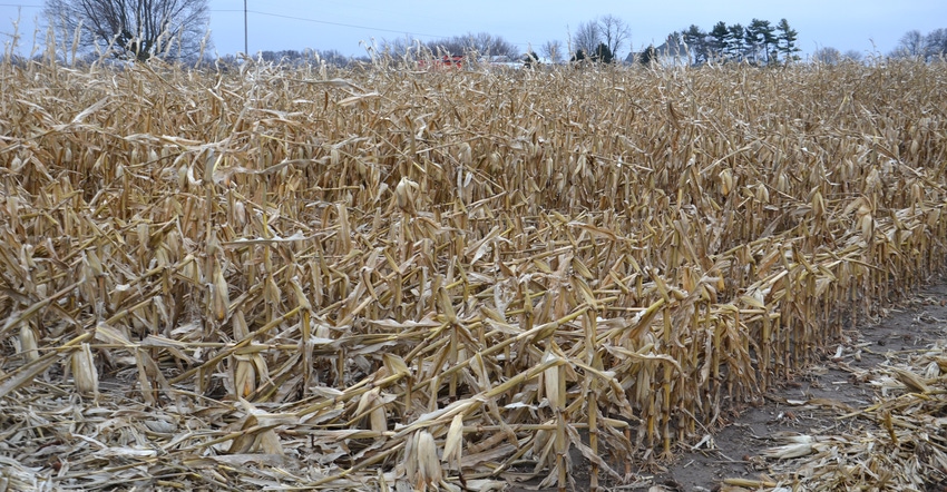
When did Indiana become dry, and how dry was it? Much of Indiana was abnormally dry in June; then rains alleviated dryness, except in parts of northern Indiana. More recently, in late August and September, northern Indiana was abnormally dry, as noted by the U.S. Drought Monitor. The pattern extended itself into south-central and southwest Indiana. Other than the southern half of counties along the Ohio River Valley, most areas are trending to the dry side.
Can you explain how the La Niña event could unfold? The El Niño Southern Oscillation, known by weather people as ENSO, appears to be entering a La Niña phase in the Pacific Ocean. The average temperature in a portion of the equatorial Pacific Ocean will be more than half a degree Celsius below average. La Niña is the cool phase of the cycle. El Niño is the warming phase. The period in between is a neutral phase.
This relative chill near the equator affects weather patterns in the Pacific Northwest and Southeastern U.S. in predictable ways. Those two regions typically become wetter than normal after a La Niña develops, with the Southwestern U.S. becoming dry.
The impact is usually less definite in Indiana because of the state’s location well inland. If La Niña does affect Indiana, it usually results in the jet stream shifting and winter being a little warmer and wetter than normal.
Will that pattern happen this year in Indiana? It’s too early to tell. The La Niña is expected to be weak, and it’s unclear how long it might last before conditions go back to neutral. If La Niña doesn’t form at all, or is weak and doesn’t last long, cycling of other climatic oscillations could have more influence over local weather. The Arctic Oscillation, North Atlantic Oscillation and Pacific-North American Pattern can interfere with expected ENSO trends if they’re strong enough. They just don’t last as long.
How can farmers follow changes in long-term forecasts? Access Climate Prediction Center information at cpc.ncep.noaa.gov; then check out various prediction maps. Be careful, however. Remember that the colors represent the degree of confidence of probability in a prediction, not how far above or below normal a trend might be.
About the Author(s)
You May Also Like


