

Subscribe to receive top agriculture news
Be informed daily with these free e-newsletters

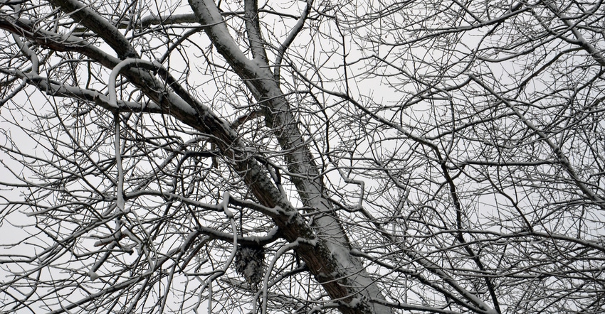
Weather Watch: There's a decent chance precipitation could be above normal in Indiana.
According to maps from the National Oceanic and Atmospheric Administration’s Climate Prediction Center, Indiana has an equal chance to experience above, below or normal temperatures in February. For precipitation, there's a greater than 40% chance that Indiana will see an above-normal amount.
So how does that translate into what type of weather you can expect during the final month of climatological winter? Ken Scheeringa of the Indiana State Climate Office says you need to keep things in perspective. Even if precipitation totals are above normal, that doesn’t necessarily translate into extremely wet periods or heavy snows.
Long-term forecasters predict the direction of trends with some accuracy. Anticipating the intensity of a trend is a whole different ballgame. Even long-term forecasters aren’t currently able to be that precise with any degree of accuracy.
Typical winter
The maximum daily temperature for February in central Indiana averages 39.3 degrees F. The minimum daily temperature averages 22.5 degrees F. With the freezing mark somewhere in the middle, a trend toward more precipitation than normal likely translates into at least some snow events.
The daily average high is lower in northwest Indiana and higher in the southern counties. Northern counties typically get more snow than central and southern counties, and the way the trends are shaping up, that will likely be the case this year.
Scheeringa observes from the maps that Indiana is in a narrow band across the U.S. where forecasters aren’t sure which way temperatures will trend. In northern states, they should trend below normal. In the southern half of the country and up the Eastern seaboard, they will likely trend warmer than normal.
More precipitation than normal is expected in the upper Great Lakes. Below-normal precipitation will likely continue in parts of the Southern U.S., particularly the Southwest. Some of those areas could be both warmer and drier than normal.

You May Also Like
Enter a zip code to see the weather conditions for a different location.


