Subscribe to receive top agriculture news
Be informed daily with these free e-newsletters

Pacific Ocean conditions neutral in March.
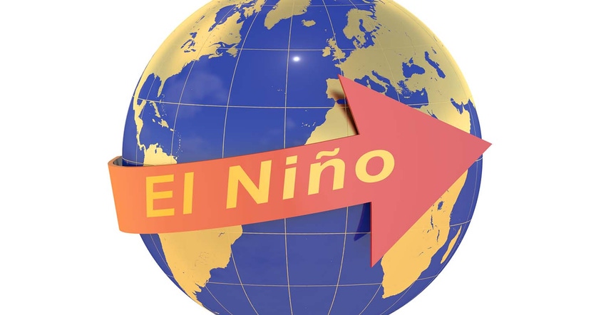
An El Nino event could develop during the second half of 2017, U.S. weather forecasters said in their April outlook.
The latest forecast from the National Weather Service’s Climate Prediction Center has just under a 50% probability for El Nino in the July-September, a 50% probability in August-October and slightly more than 50% for the September-November period.
The prediction follows a similar one earlier this week from Australia’s weather bureau, which also said there is a 50% chance for an El Nino event in 2017.
El Ninos occur during the above-normal warming of the sea surface in the equatorial Pacific.
“Sea surface temperatures in the tropical eastern Pacific Ocean have warmed, with the warmth progressively spreading westwards since the start of the year,” Australia said. “Additionally, waters in the eastern Pacific subsurface have also warmed over the past few weeks.”
History shows an El Nino could produce above-average moisture across the southern United States, dry conditions in Australia and wet conditions in South America. However, the timing and duration of El Ninos can affect the severity of these events.
“Yields in the past were sometimes very bad, sometimes very good, and everywhere in between. In the 35 summers with neutral readings since 1955, corn yields averaged 2% better than normal, with soybeans coming in 1% better,” said Bryce Knorr, Farm Futures senior grain analyst.
An El Nino event late this summer and fall could mean an increase in this year’s corn and soybean crops, plus bigger coarse grain and soybean yields in Argentina, and lower wheat and coarse grain yields in Australia, he said.

You May Also Like
Enter a zip code to see the weather conditions for a different location.


