

Subscribe to receive top agriculture news
Be informed daily with these free e-newsletters

Whether it's precipitation, soil moisture or ET, measuring technology helps make more informed decisions to add value to water that's used or consumed.
Editor’s note: This article is the latest in a series discussing water consumption and use from a supply perspective and as it relates to watershed management concepts. This series will be produced in connection with the Nebraska Water Balance Alliance (NEWBA) and several of its associates.
It was management consultant Peter Drucker who was first credited with the quote, "If you can't measure it, you can't improve it." Like any business, that statement rings true for anyone involved in production agriculture — and probably now more than ever.
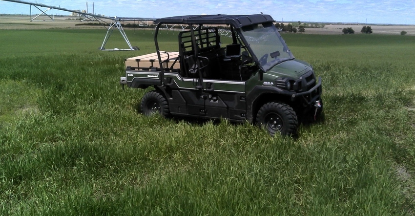
As Sutherland area farmer and NEWBA member Roric Paulman notes, "We're going to be challenged from every aspect to add value to the water we use and consume."
In previous articles in this series, we've explored water consumption and use, and possible methods to address unnecessary consumption at the watershed level. But what are the primary drivers of consumption and use, and how can we measure them to help make more informed decisions to benefit the watershed? Fortunately, growers, Natural Resources Districts (NRDs) and other stakeholders now have a range of tools at their disposal to achieve these goals.
NEWBA's primary focus is to identify new and emerging technologies that measure and apply processes to help understand and adopt water balance concepts that can improve water utilization for production agriculture and other water needs.
The following is not a comprehensive list of technologies, but a look at some of the latest technologies available in the water management toolbox, and how using them can help landowners, growers and watershed managers add value to the water that's used and consumed.
It starts with rain
It starts with precipitation — the fundamental driver of water supply. "If you think about water balance, you have to know what's coming into the system to have any idea of what outputs are in terms of evapotranspiration, streamflow or changes in storage. Being able to identify that number is critical," says Trenton Franz, hydrogeophysicist at the University of Nebraska-Lincoln.
A number of weather station networks through Automated Weather Data Network (AWDN) and National Oceanic and Atmospheric Association provide precipitation data and forecasts to help growers make decisions based on how much rainfall they've already received, and in the case of models, decisions based on how much rainfall they may receive.
However, as Franz notes, these networks can be supplemented by local real-time sensor data.
This is where Arable's Mark comes in. The Mark measures rainfall using an acoustic sensor, which also allows it to distinguish the acoustic signature of rain from hail. Growers can use this to ground-truth rainfall with weather forecasts and models, and calibrate them based on previous weather events to improve the accuracy for weather models for a specific field.

Designed to include a number of measuring technologies in a single, portable device, the Mark includes a barometer, radiometer and spectrometer to measure humidity, estimate evapotranspiration (ET) and calculate crop water stress index (CWSI). It also features an auxiliary plug to connect with soil moisture probes.
Franz is collaborating with Adam Wolf, CEO at Arable, to deploy 15 to 20 Marks on farms in Nebraska this spring to establish a ground-base network, and to work with remote sensing and radar networks to ground-truth existing radar products, including AWDN and NOAA stations.
And Wolf notes precipitation data itself is valuable in making informed decisions on actionable items. "For example, say I don't need to irrigate if it's raining on Thursday. That will save me on pumping costs as well as my allocation," he says. "Someone sees the data, understands the implications, and if they act on it, they receive the value. The question is, 'Do I find value in those systems?'"
What's in the bucket?
Many growers are familiar with and often use capacitance probes to monitor soil moisture. However, one of the more underutilized measurements is soil water-holding capacity, notes Paulman.
"We haven't done a good enough job of understanding the water-holding capacity in our fields," he says. "What we expect to do more often is when we do that soil sample, we put that into the soil moisture triangle, measure the percentage of clay and sand, and get a map of the field of water-holding capacity."
Measuring water-holding capacity starts with identifying the major soil type and then using a soil moisture probe placed precisely in that location and in the right topography, notes Nick Emanuel, founder of CropMetrics, a company that develops software and hardware to bring irrigation management tools to a centralized platform, which includes capacitance probes. Often, irrigation is triggered when the lightest soil — the soil with the lowest water-holding capacity — in the field shows water stress. However, watering consistently based on the lightest soil means other soils get overwatered.
"If we overwater the majority soil type, we are minimizing opportunities for maximum yield and profitability on that soil type," says Emanuel. "That's what water optimizing really comes down to — first and foremost, optimizing the soil type, the majority soil type and water-holding capacity."
The gold standard for soil moisture probes are neutron probes. The Cosmic ray neutron probes designed by Franz at UNL work similar to these, but instead of using a radioactive source to emit neutrons, they use "fast neutrons" already in the atmosphere that collide with hydrogen atoms in the air and soil, bouncing in and out, and forming a cloud of "slow neutrons" to measure hydrogen.
"You can think about the soil as a bucket. You need to know the inputs and how large your bucket is, and you need to know the status of the bucket," says Franz. "Having that spatial information is very critical in designing an irrigation prescription map. The Cosmic Ray probe can help measure the size of the bucket and how much water's in the bucket, providing a cost-effective solution for producers."
ET takes the lion's share
Then there's evapotranspiration (ET), a combination of evaporation and transpiration, which represents the greatest percentage of consumption of water. About 80% of precipitation is lost to ET, notes Dayle McDermitt, former researcher and now consultant at Li-Cor. And there are several methods to measure actual ET.
For example, Li-Cor's Flux Tower systems use eddy covariance to measure actual ET. As wind flows over the surface of the earth, turbulence is created, and that turbulence consists of eddies. Li-Cor's Flux Towers simultaneously measure the wind velocity, gas concentration and temperature of those eddies as they transport carbon dioxide and water vapor from the atmosphere to the surface, and from the surface to the atmosphere, measuring the "flux" of water vapor and carbon dioxide that's leaving and returning. Measuring the water vapor that's leaving gives an accurate measurement of ET.
The Fluxtower is stationary, and records data every tenth of a second to provide actual ET measurements every half hour. Most towers stand 2 to 3 meters above the ground. The footprint of the tower's is generally a hundred times the height.
Measuring water input, the precipitation, and the surface and groundwater, as well as measuring ET, the majority of the output, gives landowners and watershed managers a look at the entire water balance, notes McDermitt. "Anything we can do to manage ET, whether it's in crop selection or residue management, can have a very substantial impact on the residual liquid water that's available for maintaining the aquifer and ecosystems services in waterways," says McDermitt. "Most of the time, ET is the biggest consumptive component."
You May Also Like
Enter a zip code to see the weather conditions for a different location.


