

Subscribe to receive top agriculture news
Be informed daily with these free e-newsletters

Services that stitch UAV images together can provide helpful information.
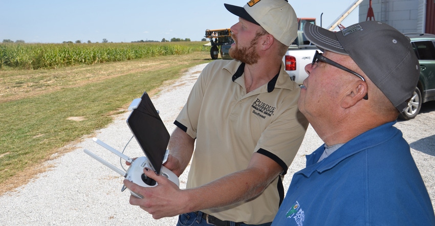
The goal of flying unmanned aerial vehicles over crop fields for serious producers is to learn information about the health of the crop, Alex Helms says. You can use that information to identify spots in the field that need further scouting to determine what is causing them to not appear as healthy as other spots in the field.
Helms works with technology at the Southeast Purdue Agricultural Center near Butlerville, Ind. He obtained his Federal Aviation Administration remote pilot certificate earlier this year. SEPAC purchased a DJI Phantom 4 UAV. The official FAA designation for a UAV is sUAS, which stands for small unmanned aircraft system.
The cost of the UAV with accessories was about $1,400. You can spend less, or you can spend much more on UAVs and the equipment that goes with them.
One of the more costly elements is the camera that takes Normalized Difference Vegetation Index images. Basically, NDVI images are infrared pictures that some people believe make it more obvious to pick out healthy vs. nonhealthy spots in the field. Instead of a plain picture, you get an image in various colors — green for good vegetation, and yellows and reds where the crop isn’t performing as well.
Other methods
Helms experimented with other methods this summer, trying to get maximum crop scouting information for dollars invested in the technology. He flew primarily using a regular RGB camera, which shoots normal digital images.
During a prescription flight, where the flight pattern is predetermined, the camera may snap nearly 300 pictures. Helms can watch on a small screen to see what the UAV sees during the flight.
To get a useful image of the entire field requires either purchasing and using your own software to stitch the image together, or using a subscription service that stitches the pictures into one image. Helms used Drone Deploy, a stitching service. He says he often had stitched images back within two hours.

One step further
One of the services Drone Deploy offers is a colored image that gives a better indication of plant health comparisons. “A true NDVI camera accounts for near-infrared wavelengths,” Helms says. “Most regular cameras don’t filter for that wavelength.
“The service uses an algorithm which utilizes information from the regular camera to produce a plant health value. These values give us an enhanced view of which areas are doing well and which might be struggling. The red and green images in this view make it easier to spot areas which aren’t doing as well.”
The images shown with this story were taken very late in the season when the crop was beginning to mature, Helms says. Learn more at dronedeploy.com.

You May Also Like
Enter a zip code to see the weather conditions for a different location.


