

Subscribe to receive top agriculture news
Be informed daily with these free e-newsletters

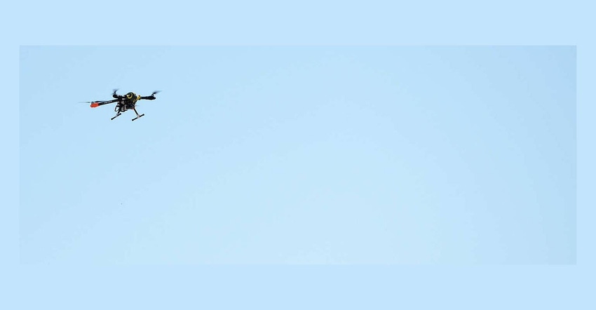
Land O'Lakes creates a prize the goal of helping drones more useful to farmers.
February 17, 2017
The allure of drones crisscrossing farm country to gather useful information you can put to use easily is still in the works. There are more players every day in the aerial imagery business, but there are also only pockets of success. Land O'Lakes, the big Minnesota cooperative that also owns WinField United and satellite information company Geosys has laid out a new drone-focused challenge.
The Land O'Lakes Prize: Drone Challenge is a crowdsourcing competition the company announced is designed to "develop proposed solutions that enable scalable, autonomous drone usage in precision agriculture." A price of $140,000 will go to the grand prize winner who is found to meet all the requirements of the challenge (more on that later). Runners up get $5,000 each. And winners get to keep intellectual property rights to the solutions they develop to help farmers use drone technology more effectively.
The cooperative is working with HeroX, which has made the XPRIZE model of innovation accessible to a wide range of companies seeking ways to break through on key challenges. At HeroX the listed challenges range from the Space Poop challenge (new ways to move human waste away from astronauts – we don't want to know what they're doing now) or the Land Survey Automation Challenge for the real estate industry. The platform will host the Land O'Lakes drone challenge which according to the company "hopes to surface valuable, user-friendly drone solutions that will enable farmers to make better decisions for their crops as they work to produce more food to feed more people."
Reason for the challenge
Here's the issue, and one that many drone enthusiasts acknowledge, the use of these high-flying tools can be time consuming and the effort in data collection and processing workflow makes it difficult to realize the full value of the tool. While some drone companies and service providers are making breakthroughs, for many farmers this is tech that’s enticing but still not completely accessible.
However, Land O'Lakes wants to use the power of the crowd and its network of 300,000 farmer members to move the market forward. In the press statement announcing the challenge, Mike Macrie, chief information officer for Land O'Lakes, commented: "We're offering the Land O'Lakes Prize to accelerate the development of drones for the ag industry. We believe with a few more years of work and the direction we're providing, backed by insights from our network of 300,000 farmers, we can create a marketplace for drones that ultimately creates better solutions for the farming community."
Land O'Lakes is no stranger to ag tech. Through WinField United and Geosys the cooperative is considered a leader. The R7 by WinField already provides information-rich support to farmers with a range of agronomic services. But drones? The cooperative isn't so sure about their value right now.
"Drones don't offer a good return on investment for farmers today," said Mike Vande Logt, executive vice president and COO for WinField United. In the award announcement, Vande Logt said that the farmer has to get to the field, launch the drone, take the pictures, pack up, download the data, stitch the images together, then figure out what the images are telling him. "It's time consuming and the applications are difficult to use."
Harsh words for a fledgling industry with a wide range of players. Some reading this will agree, others will say they already have the solution. We're at the National Farm Machinery Show this week and shared this release with a drone consulting firm on sight and they're ready to sign up and win the prize. We're thinking the competition may be tougher than that even for established players.
Taking on the challenge
If you're a tech innovator reading this you have until August 1, 2017 to enter the challenge. Some key parts of the challenge include limiting the need for human involvement in field data collection, decreasing the time needed to access crop imagery and improve the ability for the famer to make decisions based on that data.
Here are some other tech basics for our AgNerd friends:
To be eligible to be selected as a Finalist, the Solution must, at minimum:
Be able to record orthorectified crop images with Red (600-720 nm) and IR (760-900 nm) spectral bands in a minimum of georeferenced .geotiff format.
Be capable of autonomously determining an appropriate flight path to image a field after receiving a file containing the bounds of the area to be imaged
Be capable of autonomously operating (take off, collect data, land, transmitting data etc.) unattended for multiple days, with multiple flights per day.
Utilize wireless connectivity (suitable for use in rural areas) to transmit and receive data.
Be able to operate in winds of up to 20mph, and use data connection to determine if weather conditions are safe for flight.
The Solution may include a variety of approaches, including, but not limited to:
Drone and UAV hardware (multi-copter, fixed wing, fixed wing/vertical take off hybrid, inflatable, etc.)
Base stations, ports, or hanger hardware to enable longer term autonomy
That's just some basic information, you can go to the website herox.com/loldrones for more information. For you innovators reading this, if you take up the challenge keep us informed. We're going to get more information in the coming weeks on this effort and keep you posted.
You May Also Like
Enter a zip code to see the weather conditions for a different location.


