Subscribe to receive top agriculture news
Be informed daily with these free e-newsletters

LSU AgCenter workshop looks at various ways drones can help agriculture
March 23, 2017
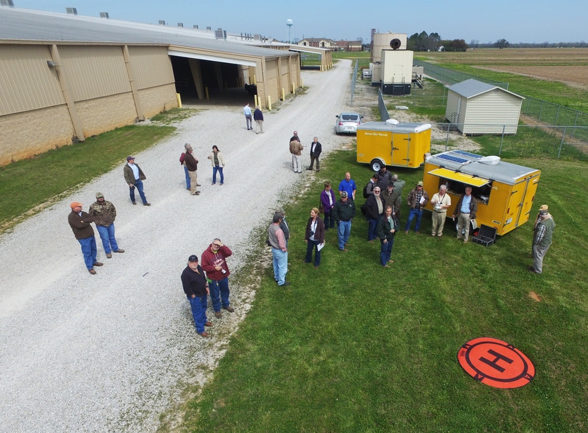
Drones can provide an aerial view of a crop’s progress and health, but they won’t replace scouting fields on foot, LSU AgCenter researchers advised at a March 16 drone workshop held at the AgCenter Dean Lee Research Station.
Dennis Burns, LSU AgCenter county agent in Tensas Parish, said insects can’t be detected by air unless crop damage is extensive. “The images are only going to show so much.”
Thermal cameras provide imaging that reveals more information than other imaging devices. Thermal cameras are expensive, but they are becoming more affordable.
Burns said stitching several hundred photos together from a flight can take two to three hours of computer processing. And obtaining good images requires uniform light, with no spotty cloud cover.
Jimmy Flanagan, LSU AgCenter county agent in St. Mary Parish, recommends two people for conducting a drone survey: one to fly the aircraft and another to watch the aircraft and a computer monitor that provides details on the drone’s progress.
R.L. Frazier, LSU AgCenter county agent in Madison Parish, said his crashes occurred when he was working alone.
Frazier has worked with a camera that makes images with Normalized Difference Vegetation Index called NDVI, to help reveal disease, insect and nematode damage. But many farmers won’t have time to learn how to use the devices.
A basic drone can cost $800 to $1,000, said Randy Price, AgCenter agricultural engineer. Software to process images can cost $2,000 to $3,500 and require large-capacity computers.
Fixed-wing aircraft often are better suited for field work, with the capability of covering 100-200 acres per flight, Price said.
Federal regulations require licensing of drones, and commercial drone operators must undergo additional training to learn airspace protocol and how pilots communicate.
Farmer George LaCour, of Pointe Coupee Parish, wants to get a drone to monitor his irrigation system. LaCour often has to spend several hours walking through fields to fix plastic pipe that moves water to his corn, soybeans and sugarcane.
Forestry consultant Danny Wells, who has a commercial drone business, attended the workshop to learn about programming routes for his drones instead of flying the aircraft by sight. “I do logging inspections to see if they finished a logging job or to see if they got all the timber.”
Drones also allow Wells to survey damage from fire or insects. “You can get a much better picture and the extent of damage instead of walking.”
You May Also Like
Enter a zip code to see the weather conditions for a different location.


