

Subscribe to receive top agriculture news
Be informed daily with these free e-newsletters

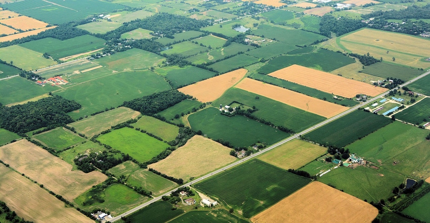
The Climate Corporation made a recent announcement about new aerial image resources, it's just the beginning.
June 26, 2017
That tablet you hold in your hand, and if you don't have one you'll most likely be getting one, can have power. A range of services from different tech providers love the tablet - often the iPad. But The Climate Corporation is at work to make that 1-pound wonder even more powerful.
The company recently announced it is integrating the services of three aerial imagery partners. It's just the start of a range of agreements in the works as Climate works not only to expand services, but allow you to have more useful data in the company’s Climate FieldView platform for the future. Three aerial imagery companies can now share their files directly into a farmer's Fieldview account.
Last year Climate announced the extension of its platform, which started with Veris Technologies making their maps available through the system as a new data layer incorporated into Climate’s agronomic models. Mark Young, chief technology officer at Climate, explained that advancements in capturing high-resolution aerial imagery make having those layers of information available could help with decision-making too.
Adding providers
Right now, Climate is making access available through a pilot program to Ceres and TerrAvion in limited regions. The company is also partnering with Agribotix. Each provides imagery. Ceres is mainly in California, but with this new agreement is looking to expand its service into the Midwest. TerrAvion is a Western company that already has a presence in the Midwest. And Agribotix is a drone service company that can take images a farmer captures and processes them for use; it is based in the Midwest, but offers its services across the U.S. All three manage and process files in the cloud, making sharing relatively simple, the innovation is the linkage to the Climate Fieldview platform.
Climate already offers access to satellite imagery tools, but Young noted there can be limitations with satellite imagery, including clouds and other factors. But these companies can offer imagery at an even higher resolution.
This integration, which will evolve, allows Ceres, TerrAvion or AgriBotix customers who are on those platforms, to select FieldView and have those images shared to their FieldView account. "In the future, we want to create an even more seamless experience," Young said. "We're continuing to refine the technical integration through these commercial pilots."
In the future, the relationship with some of these third-party companies would start in the FieldView platform, rather than with the service provider. Young said the The Climate Corporation is talking to dozens of companies to offer more information in layers you can have for future decision making about your farm.
Today the FieldView footprint covers more than 100 million acres, but the paid services have a stated goal of reaching 25 million acres in 2017, and Young said the company is well on track to achieve that.
What do you do with it?
Aerial imagery is higher resolution. It can share details about the crop that can help you scout more efficiently or determine in-season field problems. But Young said Climate is going beyond that. "We're working with our advanced scripting feature to roll-out image-based zone creation," he said. "Using that high-resolution zone imagery we can put that into the scripting process along with scouting data and zones for prescription tools."
Essentially the Climate Fieldview platform will evolve to provide more information farmers need, and a way for them to bring in more from partners, Young explained. The aim is a one-stop location where farmers can have all their information available for decision making.
You can learn more by visiting climate.com/partners.
You May Also Like
Enter a zip code to see the weather conditions for a different location.


