July 6, 2020

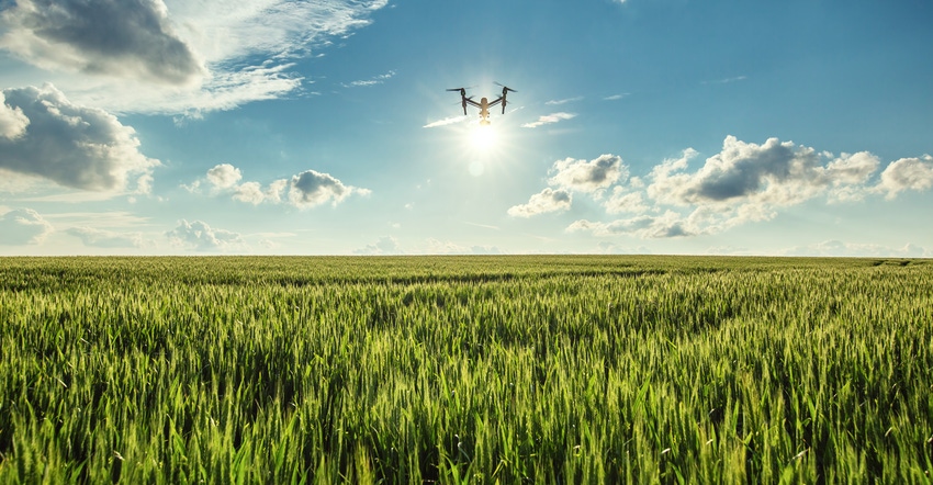
Jono Millin is co-founder of a company that depends on drones and their sensor data, but his business doesn’t make an airship or a sensor. Instead, DroneDeploy has grown into a leadership position in providing data management for those that do put these flying data gatherers to work.
“It’s really interesting,” Millin, who also has a doctorate in machine learning, says of the emerging industry. “It’s one of those things people lose sight of, but we didn’t have regulations in place for drone use until late in 2016. Up until that date, it was really up to the growers themselves to leverage this technology.”
The shift came in late 2016 when the U.S. Federal Aviation Administration created its new rules that allowed for commercial use of drones, and ended the ambiguity of hiring out to scout for farmers. That’s when drone scouting increased, he says. From then on, the communication operations of drones saw a massive uptick from service providers scouting crops to insurance companies capturing imagery of crop damage for claims and more.
And companies are putting those machines to work for research and development, including big players like Corteva. “As far as we’re aware, Corteva has the largest commercial fleet of drones with more than 1,000 pilots,” Millin observes, and adds that all of those drones are using DroneDeploy software.
To put the rise of drones in perspective, from 2018 to 2019, the company saw a 32% increase in drone flights across agriculture, and a 55% increase in agriculture acres analyzed by drones. And despite the coronavirus, DroneDeploy has seen a 39% rise in drone takeoffs and a 33% increase in takeoffs across U.S. agriculture users from mid-March to mid-April.
Supporting data capture
DroneDeploy works with all brands of airships, and sensors, to provide data services. How that works may differ based on the drone. For example, the popular DJI Phantom drone can be operated using DroneDeploy software.
“On the flight side with that drone, we can automate the flight and the data capture using our mobile app,” he says. “For a drone like the Sensefly eBee with a micasense Rededge sensor, we don’t have direct integration on the flight side, but we can still take images and provide the upload process to analyze the data.”
The cloud-based service can prepare information from a drone and provide pilots, and their clients, easy access to finished imagery and other analytic services. That’s one way that the drone industry has evolved, with cloud-based analysis to more quickly make use of the imagery found.
And the sensors are getting more advanced as well with multispectral images, and even hyperspectral that see and interpret more kinds of light from your crop. This is still in the fledgling side of the business, though multispectral imagery is used for creating normalized differential vegetative index maps, better known as NDVI images, that can show crop health.
Millin says that the standard RGB, or video-photo, image a drone provides, however, can also be a powerful tool, showing crop health, emergence and other factors. “We encourage people to start with RGB imagery, taking a crawl-walk-run approach,” Millin says. “Just having the visual picture is helpful. If you then want to move to multispectral images for improved accuracy or to get an earlier warning of trouble, that makes sense.”
And satellites?
Millin doesn’t see daily satellite imagery as a competitor to drone imagery, instead he sees them as complementary. “I’ve heard from customers that the satellite will tell me which field has a problem; then the drone will tell me where and how much,” he says.
The key is that a drone can fly over a field even when there are clouds, which may be valuable if you need imagery at a critical growth stage. And that’s an issue with insurance claims if there’s storm damage since clouds can hang around, and you may need that insurance adjuster out earlier to get imagery of crop damage for a claim.
The other benefit of the drone service provider is that physical presence on the farm, gathering the scouting and imagery data, and then having that conversation with the farmer. “The farmer can see the service provider face-to-face,” he says.
The drone industry is evolving. Millin gets excited about how that technology could someday be applied to drone imagery for even better decision-making, but he doesn’t expect that happening right away.
However, that mating of imagery and machine learning could eventually lead to highly precise seed placement, crop protection use and fine-tuned crop management. Short answer? Stay tuned.
About the Author(s)
You May Also Like


