February 5, 2019

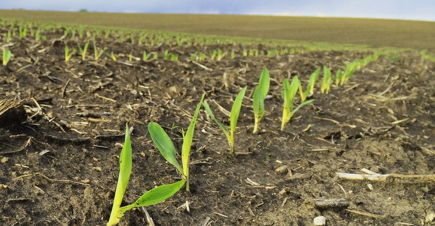
Crop scouting is a powerful tool for identifying field problems, but it’s also labor- and time-intense. New tools are coming online to speed the process, from satellite imagery to drones. Crop startup and ag image innovator Taranis is upping the ante on imagery for 2019 with the launch of new solution that can calculate and monitor stand counts from the air.
“We’re trying to make it to this season with a lot more tools,” says Ofir Schlam, CEO, Taranis, an Israel-based startup with offices in New Richmond, Wis. “We have a fleet of planes and drones we can manage from [Wisconsin] and offer sales and support all over the country.”
Taranis has developed the AI3 imaging system using an innovative algorithm approach that can take high-resolution imagery and turn it into useful data. Schlam explains that the company’s system can capture hundreds of images in a pass; and using special software, it can create heat maps of stand counts and offer a report of how well you did on that planter pass.
“We can get in early, seven to 10 days after planting, when aerial imagery usually has little impact,” Schlam says. “With our submillimeter system, we can see very small seedlings that are just emerging from the ground.”
The company has a way to count those individual plants and extrapolate from sampled imagery to get an overall emergence report from each field. “From each field, we can provide an exact map of how good the planting quality is and the emergence as if you walked the field — but we can move faster,” he adds.
For the stand count imagery, drones are required. The company’s proprietary camera pod weighs in at 3 pounds, so a larger drone is used for this task. Running 40 feet off the ground at 40 mph, the system can capture precise images of the crop.
Within 48 hours, Taranis can provide customers with a stand count for each field, and even a “heat map” showing stand variability.
Putting stand counts to work
In the heat of planting, that early count may be a tool to manage where replanting may be necessary, or to change a planter setting during the season. How this imagery is put to work on a grander scale remains to be seen.
However, knowing the stand count as another data layer for a field can help farmers better understand what’s going on in each field.
In discussing the stand counts, Schlam points out that uneven emergence can cut grain yields up to 7%, with roughly a loss of 12 bushels per acre — for corn — at harvest. With this information, growers can create targeted management zones for fertilizer and soil sampling to maximize fertilizer programs in each field.
Schlam says that when the company starts flying drones at planting time, each machine will cover 5,000 acres per day. There’s a lot of territory; he jokes his operations manager is already losing sleep as they plan how to cover customers’ fields.
Schlam is quick to add that this service is not about staying in the office and looking at images. “We can look at each plant and understand the rows,” he says. “This is something the customer can see on a map — click on the screen and see where there’s a problem. Then they can go to the field to check it out. We want to encourage farmers to be in their fields, of course.”
Getting in early
The winter announcement is to help that Taranis operations manager better plan for capturing-planting imagery. “We want to know where the action is supposed to take place and get an early glimpse of our season,” Schlam says. “We’re willing to offer early-bird pricing for those interested.”
While the company does have a fleet of planes available, they’re more for later-season image capture. The drones will be the backbone of the stand count imagery work. “We have drones in practically every state, and some areas we have overlap of two or three drones,” Schlam says.
The company has developed stand count models for a wide range of crops, including corn, soybeans, cotton, potatoes, wheat and sugarbeets. The cost of the service is $2.50 per acre, but that’s a scaled cost that falls as more acres are included. Schlam also notes that cooperatives the company works with may offer other volume discounts, too. You can learn more about this new service, and other tools offered, at taranis.ag.
About the Author(s)
You May Also Like


