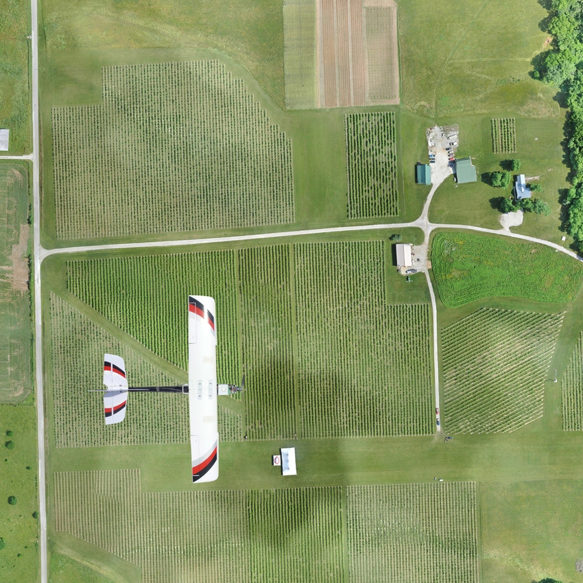
Over 40 university and corporate partners including Texas A&M and Mississippi State University are providing analysis products for the marketplace. Additionally, PrecisionHawk’s acquisition of satellite data provider TerraServer will allow marketplace users to link satellite and drone data to observe change over time.
June 4, 2015

This week Precision Hawk announced the launch of the Algorithm Marketplace in BETA, which provides automated analysis of aerial data acquired by UAVs (Unmanned Aerial Vehicles). Using sophisticated algorithms, drone operators will no longer need a background in geographic information system (GIS) or remote sensing to interpret their aerial data, instead, the marketplace provides an action-based report to improve management of assets. The BETA launch includes initial algorithms in agriculture, but users can expect solutions to be deployed in the areas of environmental monitoring, energy, insurance and infrastructure assessment.
“We spent the past 18 months aggregating more than 100 aerial analysis algorithms from leading research partners in North America and Europe,” said Dr. Ally Ferguson, PrecisionHawk director of geospatial applications, in a release. “Although several are deployed now, we are testing many of our internal and partner solutions in real world environments throughout the summer of 2015.”
The patent pending marketplace is a part of DataMapper.com, PrecisionHawk’s drone data platform.
“As we deploy additional automation and verification tools over the next few months, users can expect many of the analysis algorithms to process in as little as a few minutes, empowering a wide variety of industries,” said Andrew Slater, PrecisionHawk VP of software. “Automation benefits companies who not only need answers quickly, but also those who need to control costs when they need to analyze large volumes of aerial data.”

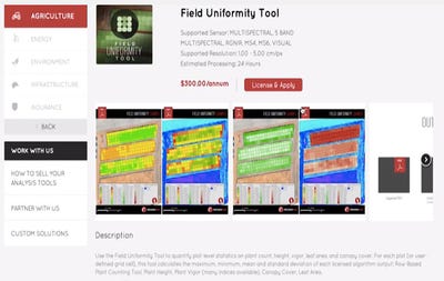
How it looks in the Marketplace
The market is open to companies, universities and students to post and monetize their analysis tools at no cost. A share of the revenue generated from every algorithm sale goes back to the partner. In addition, algorithm automation tools can be set to private by companies who wish to extract the benefit of automation without sharing any IP with anyone outside their business.
“We set out to build an open IP platform from the beginning,” said Bob Young, PrecisionHawk Chairman. “In the same way that desktop computers needed an abundance of easy to use software to change the world, similarly, drones need a platform where software developers can build the tools that are necessary to scale.”
“The Algorithm Marketplace opens up the remote sensing community and allows institutions like Texas A&M, to see its research solve tangible real world problems for non-technical users.” said Michael Bishop, founding director of the Center for Geospatial Sciences, Applications and Technology at Texas A&M University.
Algorithms are being developed to help companies better evaluate change in conditions over time. To support these tools, PrecisionHawk recently acquired Terraserver, an online satellite imagery provider.
“We kept finding that we needed satellite data to create software solutions for the drone industry,” said Stefan Lataille, PrecisionHawk GIS scientist. “Drone platforms need to understand their environment, and Terraserver, with its access to historical and current satellite data provides the building blocks to create better analysis tools for drone users to identify how the world changes over time.”
To learn more visit datamapper.com. Watch a video on how the technology works below:
You May Also Like


