July 25, 2022

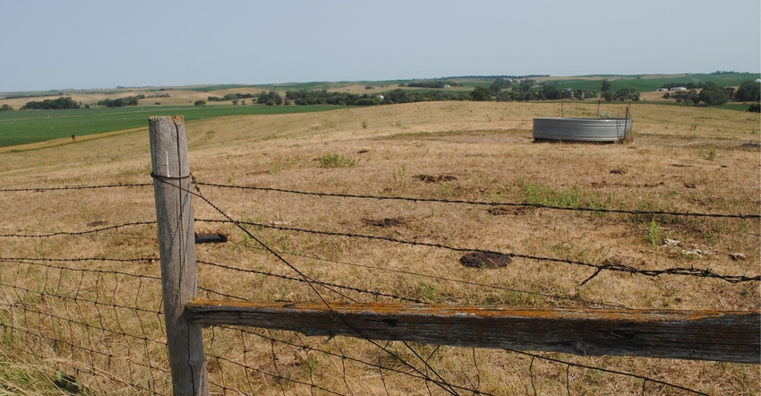
Nebraska experienced its seventh-driest June on record this year, and by month’s end, drought covered 76% of the state. Severe weather was plentiful, particularly during the first two weeks, as hail and high wind events dominated the impacts.
Temperatures averaged slightly above normal. The year-to-date average statewide temperature is in the above-average category, while precipitation is the seventh-driest on record for the January-through-June period.
Precipitation and drought
Precipitation for June was greatest in southeast Nebraska, with monthly totals higher than 5 inches in places such as Auburn, Beatrice, Nebraska City, York, and portions of Lincoln and Omaha.
Elsewhere, totals were anywhere from a quarter-inch in portions of the Panhandle and north-central Nebraska, to an inch and three-quarters. June is typically one of the wettest months of the year across Nebraska (along with May). The statewide average total this year was 1.81 inches, which is about 2 inches less than normal and ranks as the seventh-driest on record.
This makes the third straight year of below-normal June rainfall totals, and over the past 30 years, the state has experienced a drying trend over time. Drought conditions at the start of July, according to the U.S. Drought Monitor, covered three-quarters of Nebraska.
The driest areas at that time continued to be in the northeast and southwest with pockets of extreme drought (D3). Drought-free conditions remain in Nebraska’s southeastern counties.
What’s the temperature?
Temperatures averaged warmer than normal overall for June. The statewide mean was 70.8 degrees F, which is 1.7 degrees above average. For the past three decades, Nebraska has gotten hotter in June, with an increase of nearly 4 degrees in the average monthly temperatures. High temperatures have warmed twice as much as nighttime lows. Nearly everywhere in the state reached triple digits during the month.
Southwest Nebraska had the warmest conditions, topping out at 109 degrees, and several locations had five or more days in which temperatures were above 100 degrees. A few locations in the Panhandle dipped below freezing in June, while temperatures in the 30s occurred in locations aside from the southeast third of the state.
There were tied and new daytime high temperatures, as well as new nighttime minimum records, reported during the month — North Platte (108 degrees, June 13), Grand Island (minimums of 77 degrees and 78 degrees on June 19 and June 20), Hastings (103 degrees on June 13 and a minimum of 76 degrees on June 20), Lincoln (minimums of 78, 77 and 78 degrees on June 13, 19 and 21), Norfolk (102 degrees on June 13 and minimums of 79 degrees on June 19 and 20), and Omaha (a minimum of 79 degrees and a high of 101 degrees on June 13, a minimum of 76 degrees on June 21).
A few low temperature records were also set during June. Norfolk had its coldest June temperature since 1935 of 37 degrees on June 2, as well as a new daily low of 46 degrees on June 27. Lincoln also set a record low of 42 degrees on June 2.
Severe weather
A very active weather pattern developed across the Central Plains during the first half of June. Severe weather was reported somewhere within the state nine of the first 14 days of the month. Widespread severe weather was reported June 7 when 89 hail and 74 wind reports were issued by storm spotters, and June 14 when 71 hail and 43 wind reports were issued.
On June 7, the Nebraska Mesonet station near Alliance reported a 74-mph gust at 9 feet height. The minimum criteria for hail reports is 1 inch (quarter size) and 60 mph for wind gusts. Hail damage to crops was significant enough that producers needed to replant crops along four distinct storm paths, including along and just north of I-80 from Kearney to Lincoln; Broken Bow to Central City; Loup City to Wymore; and Bridgeport to just west of McCook.
Total storm reports were the following for tornadoes (11), hail (292) and wind (196).
Source: UNL CropWatch, which is solely responsible for the information provided and is wholly owned by the source. Informa Business Media and all its subsidiaries are not responsible for any of the content contained in this information asset.
You May Also Like


