Subscribe to receive top agriculture news
Be informed daily with these free e-newsletters

Snow surveyors confirmed that water content in California’s mountain snowpack is far below normal for this time of year.
February 2, 2012
Snow surveyors confirmed that water content in California’s mountain snowpack is far below normal for this time of year.
Manual and electronic readings record the snowpack’s statewide water content at only 37 percent of normal for the date. That is just 23 percent of the average April 1 reading, when the snowpack normally is at its peak before the spring melt.
“So far, we just haven’t received a decent number of winter storms,” said DWR Director Mark Cowin. “We have good reservoir storage thanks to wet conditions last year, but we also need more rain and snow this winter.”
Results of the manual readings by the Department of Water Resources (DWR) off Highway 50 near Echo Summit are as follows:
Location | Elevation | Snow Depth | Water Content | % of Long Term Average |
Alpha | 7,600 feet | 14.8 inches | 3.6 inches | 17 |
Phillips Station | 6,800 feet | 15.6 inches | 3.8 inches | 19 |
Lyons Creek | 6,700 feet | 21.8 inches | 5.8 inches | 30 |
Tamarack Flat | 6,500 feet | 15.2 inches | 4.8 inches | 25 |
The Lyons Creek and Alpha snow measurements were the second lowest on record (going back to 1958 for Lyons Creek, and to 1966 for Alpha). Water content in the snowpack at Lyons Creek today is 5.8 inches, compared with the record low of 0 inches in 1963. Water content in the snowpack at Alpha today is 3.6 inches, compared with the record low of 2.9 inches in 1976. Today’s snowpack at Tamarack Flat contains 4.8 inches of water, the fourth lowest on record going back to 1946. The record low at Tamarack Flat was 0 inches in 1963. Today’s water content at the Phillips course was 3.8 inches, second lowest in records dating back to 1946. The record low at Phillips was 0 inches in 1963.
For a broader comparison of current conditions to previous years, dry and wet, see DWR’s new “Water Conditions” webpage: http://www.water.ca.gov/waterconditions/
Electronic readings indicate that water content in the northern mountains is 41 percent of normal for the date and 26 percent of the April 1 seasonal average. Electronic readings for the central Sierra snowpack are 32 percent of normal for the date and 20 percent of the April 1 average. The numbers for the southern Sierra are 42 percent of average for the date and 25 percent of the April 1 average.
Statewide, the snowpack water content is 37 percent of normal for today’s’ date and 23 percent of the normal April 1 seasonal total.
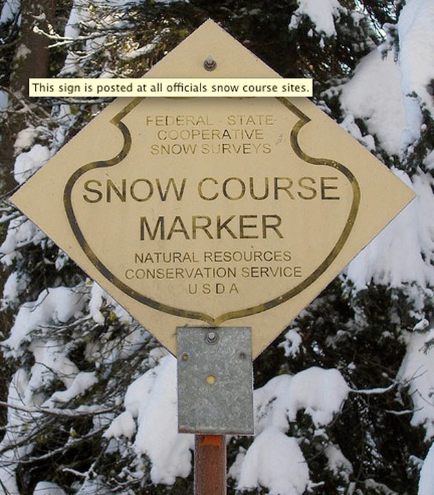
DWR and cooperating agencies conduct manual snow surveys around the first of the month from January to May. The manual surveys supplement and check the accuracy of the real-time electronic readings from sensors up and down the state.
DWR’s initial estimate is that the State Water Project (SWP) will be able to deliver 60 percent of the slightly more than 4 million acre-feet of water requested this calendar year by the 29 public agencies that supply more than 25 million Californians and nearly a million acres of irrigated farmland.
The 60 percent delivery estimate is largely based on the known quantity of carryover reservoir storage. Unknown is how much rain and snow the state will get the rest of this winter. DWR may adjust the SWP delivery estimate to reflect changing hydrologic conditions.
Calendar year 2011 illustrates how weather-driven supply conditions can dramatically change. The initial 2011 estimate was that the SWP would be able to deliver only 25 percent of the slightly more 4 million acre-feet requested. As winter took hold, a near-record snowpack and heavy rains resulted in deliveries of 80 percent of requests in 2011. The final allocation was 50 percent in 2010, 40 percent in 2009, 35 percent in 2008, and 60 percent in 2007. The last 100 percent allocation – difficult to achieve even in wet years because of Delta pumping restrictions to protect fish species – was in 2006.
Lake Oroville in Butte County, the State Water Project’s principal storage reservoir, is at 107 percent of average for the date (72 percent of its 3.5 million acre-foot capacity). Lake Shasta north of Redding, the federal Central Valley Project’s largest reservoir with a capacity of 4.5 million acre-feet, is at 99 percent of its normal storage level for the date (68 percent of capacity). San Luis Reservoir in Merced County, an important storage reservoir south of the Delta, is at 119 percent of average for the date (95 percent of its capacity of 2,027,840 acre-feet). San Luis is a critically important source of water for both the State Water Project and Central Valley Project when pumping from the Delta is restricted or interrupted.
(An acre-foot is 325,851 gallons, enough to cover one acre to a depth of one foot.)
Mountain snow that melts into reservoirs, streams and aquifers in the spring and summer provides approximately one-third of the water for California’s households, farms and industries.
Electronic snowpack readings are available on the Internet at:
http://cdec.water.ca.gov/cgi-progs/snow/DLYSWEQ
Historic water content readings from snowpack sensors are posted at:
http://cdec.water.ca.gov/cgi-progs/rpts1/DLYSWEQ
Archived snowpack water content records:
http://cdec.water.ca.gov/cgi-progs/rpts_archived1/DLYSWEQ
Electronic reservoir level readings may be found at:
http://cdec.water.ca.gov/cdecapp/resapp/getResGraphsMain.action
You May Also Like
Enter a zip code to see the weather conditions for a different location.


