Subscribe to receive top agriculture news
Be informed daily with these free e-newsletters

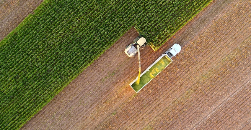
Virtual tours allow prospective buyers to see property from bird's eye view, but buyers still encouraged to physically visit property.
November 25, 2020
Virtual tours are emerging as a marketing tool for agricultural real estate. These virtual tours allow prospective land buyers to discover the ins and outs of a tract of land from the comfort of their own home or office. Buyers are offered an opportunity to move a full 360 degrees around a property and discover parts of it that would otherwise be hidden from view. While it’s still recommended that a buyer visits a property at least once, virtual tours are enabling buyers to limit the number of on-site visits and see far more online than in previous years. Read on for more on how the process works.
Although the process that accompanies the production of a virtual tour is not necessarily complex, it takes a well-planned approach to turn virtual tours into a success. Primarily, brokers will need to pick a smart vantage point, with “smart” in this context meaning selecting a point of view from which buyers will be able to oversee the entire property, including the boundary lines, with the most attractive features closest in view. A consultation of satellite images can help decide what that vantage point should be (thank you, Google Maps!). The vantage point selected has a latitude and longitude, but it also has a certain height, determined to a considerable extent by the sheer size of the property.
Next, land brokers will contract drone pilots to shoot a series of high-definition images on the selected location, which will then be woven together seamlessly. Those pilots will have to be licensed if their footage is meant to be used for any commercial purpose, including real estate marketing. In some instances, there will even be a combination of shots from different heights to further boost the experience of the viewer.
Making available 360-degree images is one thing, but land brokers can and should aim higher. Making maximum use of the technology offered means adding a layer of clickable content to the images. Brokers can provide text to describe a landmark or embed 2D or 3D images of certain points of interest (for example, the interior of a house on the property). Adding video is another option.
Land brokers can also choose to build out their virtual tour with proprietary tools, many of which are available off the shelf. Matterport is an extremely popular cloud-based solution that converts 2D panoramic images into immersive 3D images. Other vendors (from an exceptionally lengthy list) are VPiX and iGuide.
Graham is Chief Innovation Officer and Partner with National Land Realty. He is licensed in Nebraska, Iowa and Kansas. The company’s proprietary 360-degree viewing technology, Land Tour 360, as well as its GIS land mapping system, LandBase, is offered for free to the public. More information at nationalland.com.
You May Also Like
Enter a zip code to see the weather conditions for a different location.


