Subscribe to receive top agriculture news
Be informed daily with these free e-newsletters

“There has been up to 150 years of plowing on these previously-forested soils and, collectively, digging holes and making soil descriptions help us track changes in the soil profile.”
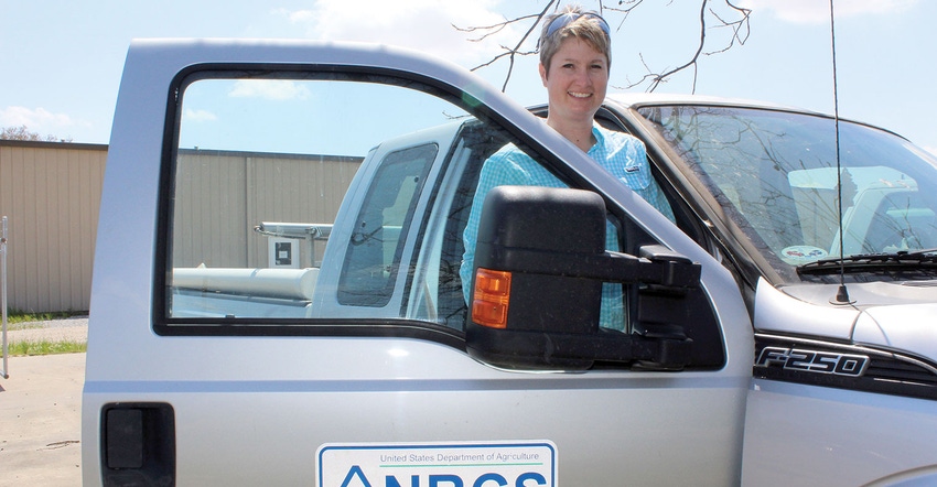
Rachel Stout Evans grew up around agriculture, earned her private pilot’s license even before graduating from high school, and was appointed to the U.S. Air Force Academy by Sen. Fred Thompson of Tennessee. Undaunted by being disqualified to fly because of poor eyesight, she redirected her efforts toward foreign studies with an emphasis on Arabic, but soon realized being cooped up in an office did not suit her ambitions.
She called her parents back in Lakeland, Tenn., and told them she wanted to come home to sort out options. “I really needed to sit on the tractor with my grandfather, get his advice, and think about what I really wanted to do,” remembers Evans. “I just wasn’t turning into the person I knew I wanted to be.”
After a short stint as a high-school tutor, she found herself at Mississippi State University where she waffled through plant science and turf grass management, but after a lackluster internship at a high-end golf facility, she was back at MSU studying soils under Dr. Billy Kingery. “Dr. Kingery was a soil physicist and part philosopher,” says Evans. “His lectures were lucid and energizing, but it wasn’t until I took a Land Use and Soils Classification class that put me outside in a field did I finally find my calling.”
Evans took part in an on-site field excavation where she used taxonomy to analyze, evaluate, and classify soils around Tunica County, Miss. Two soil scientists from the National Resources Conservation Service, Steve Depew and Ralph Thornton, helped teach the outside lab class and managed discussions about how the soils could best be used. “I was standing on the edge of a pit looking down at Thornton when he asked, “What are you doing up there? Get down in this pit!” “A light came on in my head. My search was over. I knew what I wanted to do,” remembers Evans.
She soon earned a masters in Soil Science. Her thesis dealt with landscape relationships and phosphorus loading. Evans conducted high-intensity sampling around Pontotoc, Miss., and her results provided insight into the total maximum daily load of phosphorus leaching into the Gulf of Mexico.
Phosphorus (and nitrogen) overfertilize seaweed and other aquatic plant life in the Gulf. As those plants overgrow, they eventually die, but by the time that happens, they have depleted oxygen levels in that area of the water. “When microbes begin decomposing all that dead organic matter, they burn up even more oxygen,” explains Evans. “It’s a vicious cycle and creates what are known as ‘dead zones’.”
Different agricultural, or “land use” operations emit different levels of phosphorus. A hog or cattle operation would obviously emit more than a row crop or forestry operation. The land use relationships with the various soils piqued Evans’ curiosity. When the NRCS began opening Major Land Resource Area offices, moving toward regionally-based, physiographically-defined areas and away from state-by-state offices, Evans learned an office would be established to cover the Delta, specifically, the Mississippi River Alluvium.
“The NRCS organizational structure change created an opportunity for me to cover that area, as well as the Loess Bluff Hills — a brown loam area that runs from Illinois all the way down to Baton Rouge, La.,” adds Evans, who covers 15 million acres in Mississippi, Louisiana and Arkansas.
Sometimes you have to dig a hole to see what has changed in the soil landscape. Today, Evans looks at reference states of what soils in these areas once looked like, in relation to how they look today. Her research confirms soil profile changes from the 1940s, 1950s, and 1960s.
“Most of the change in soils has occurred at the surface because of land use, i.e., agriculture. “Maps tell us how much land has been opened from forestry to row crops,” says Evans. “There has been up to 150 years of plowing on these previously-forested soils and, collectively, digging holes and making soil descriptions help us track changes in the soil profile.”
The alluvial soils were deposited from the Mississippi River. There is no bedrock near the surface, only surface soil and then subsoil. “That subsoil has weathered and changed both physically and chemically over time,” says Evans. “There are multiple soil layers below the surface with varying chemical compositions in pH, phosphorus, magnesium and potassium. You’ve got to dig a hole to find out.”
As more farmers rely on soil moisture sensors to time irrigation, Evans has seen an increase in phone calls from farmers and crop consultants trying to determine from how far down plants are pulling moisture, or why they are unable to get moisture past a certain level in the soil.
“My first thought is always, go dig a hole,” quips Evans. “If compaction is the culprit, moisture will not percolate through the profile down to a sensor, or there may be a deep layer of clay restricting water flow through a layer and water becomes ‘perched’ and your sensor won’t provide an accurate reading that makes sense from the surface.”
Evans has performed countless “transects” through commerce soil map units from Bolivar County to Sharkey and Issaquena counties and knows there is a pretty consistent layer of clay anywhere from 24 to 36 inches below the surface.
Tillage traffic pulling a disk crushes the top 6 inches of surface soil and destroys its structure. When surface soil becomes compacted, everything below it remains dry.
Evans is an advocate for cover crops. She also advises farmers that fields do not have to be tilled every year. “I’m never going to tell a farmer to go completely no-till. Every farmer and every field is different,” says Evans. “If a farmer is on rows for furrow irrigation, use a cover crop to hold those rows for a couple of years before tilling. They’ll be money ahead while simultaneously preserving their soil’s structure in the topsoil.”
She also recommends transitioning to any new tillage method incrementally. Start with one small field. Ask questions, learn from research, and from the mistakes of others. She has seen some fields so compacted, she could not even get a penetrometer into the ground.
“One grower was no-tilling but he never planted a cover to put any type of root system back into the soil — except for 30 years of soybeans,” says Evans. “On another farm, the rows weren’t correctly set up for irrigation, and the farmer never adjusted his irrigation schedule. Once he stopped drowning his crop, his yields improved, as did his overall farming system.”
Five years from now, Evans believes irrigation problems will persist because of the unsustainable trend of water use from the Mississippi River Valley Alluvial Aquifer. Also, more flooding will continue. “I have farmers and conservationists telling me they have water on sections of their land where it has never pooled before, and I think land-leveling is part of the problem,” adds Evans. “Those depressions and swells that helped store water are almost gone.”
More farmers are land-forming for irrigation and getting away from pivots. Evans believes, although she has no data to prove it, that may be an advantage during the growing season, but a disadvantage other parts of the year.
When calls about compaction, yield loss, or some other potentially soil-related problem come across her desk, Evans knows a solution will most likely be found by digging a hole.
You May Also Like
Enter a zip code to see the weather conditions for a different location.


