
Subscribe to receive top agriculture news
Be informed daily with these free e-newsletters
December 14, 2012
The drought of 2012 in the Midwest was a continuation of a weather anomaly that began in 2010. The historical indicator of El Niño and La Niña is the Southern Oscillation Index (SOI). The index is based on the 90-day standardized deviation of atmospheric pressure between Tahiti and Darwin, Australia. The standardized difference reached 0.8 on July 22, 2010, signifying the beginning of a La Niña event (Figure 1).
By Oct. 23, 2010, the event was clearly the second strongest event in the 100+ years of record keeping. The young but potent La Niña resulted in an abrupt change in weather on a planetary basis that included record flooding in Montana, North Dakota and adjacent Canada, and enormous amounts of water to drain into the Missouri river during 2011. The event ended a several-year drought in the northwest United States and ended (with drought) a six-year continuous string of above trend U.S. corn yields (figure 2).
Drought in 2011 was much like the drought in the mid-1950s: developing in the south-central United States with rain becoming scant in the Corn Belt after early July. Midwest crops depleted the subsoil moisture to the extent of rooting depth, and over winter precipitation did not bring full recharge to western Corn Belt soils. Rooting conditions in 2012 were near ideal and observed corn and soybean roots to depths greater than 8 ft. were reported in numerous locations. Deep rooting provided sufficient water to enable a greater than anticipated crop yield in numerous Corn Belt locations, but resulted in about 8 ft. of moisture depleted soil and a resultant requirement of 16+ in. of moisture needed to replenish subsoil moisture. It is not likely that subsoil moisture will be fully replenished by the beginning of the 2013 planting season.
Moisture deficit in the subsoil increases the risk of crop yields being below trend and prevents the recovery of river, pond and well water to normal levels.
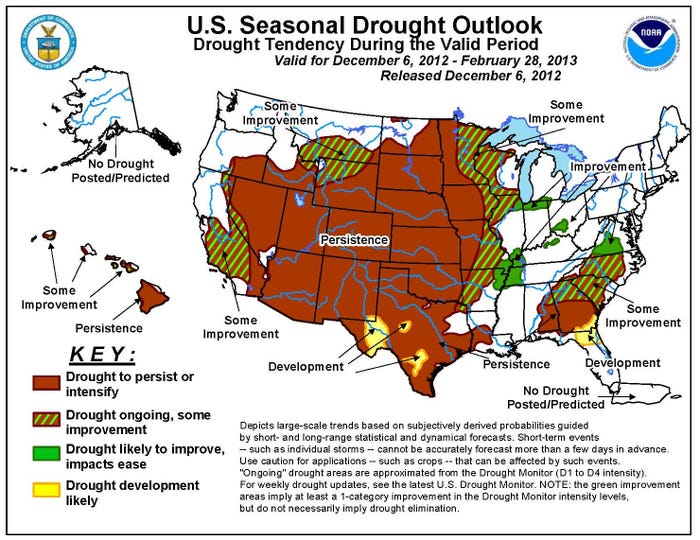
Measurements of soil moisture are made at 1-ft. intervals to 5 ft. at several locations. Figure 3 is a map of the “normal April 15” soil moisture. Observations of the moisture at selected locations were made in the fall of 2011 and 2012. The fall observations are useful in that November water is retained throughout the winter and is indicative (to the extent they are short of normal) of the moisture deficit yet to be corrected.
Historically, severely deficit precipitation years of the magnitude of 2012 do not recover to normal annual precipitation in a single year (Figure 3). Accordingly, an additional year of significant moisture stress is considered to be not unlikely and a fourth consecutive year of below trend U.S. corn yield a distinct possibility. The probabilities will become more definitive in the early weeks of 2013 as the likely phase of the El Niño/La Niña for the growing season becomes manifest.
Elwynn Taylor is an extension climatologist and professor of agronomy. He can be reached at (515) 294-9985 or 3-mail [email protected]. Observations of subsoil moisture were provided by Joel DeJong, Paul Kassel, Jim Fawcett and Greg Brenneman, extension agricultural specialists.
You May Also Like
Enter a zip code to see the weather conditions for a different location.


