Subscribe to receive top agriculture news
Be informed daily with these free e-newsletters

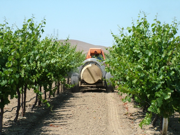
Take a lesson from geochemical botanists. By reading the types of plants growing in an area, they can determine various soil issues that may be hindering production and quality of your grape crop.
Weeds aren’t all bad. Sure, they compete with your vines for water and nutrients. But, on the plus side, they can provide food and habitat for beneficial insects and wildlife. What’s more, as University of Illinois at Urbana-Champaign horticulture educator Kelly Allsup points out, they also can highlight shortcomings in your soil management practices.
Take a lesson from geochemical botanists. By reading the types of plants growing in an area, they can determine various soil issues that may be hindering production and quality of your grape crop.
Some examples:
Chicory and bindweed are indicators the soil is too compacted. Aeration and a soil conditioner, like compost or a cover crop, can help reduce the populations of these offenders.
Foxtails, dock and horsetail thrive in moist or wet conditions.
Dandelion and stinging nettle indicate acidic soil. Most plants prefer a slightly acidic soil so a soil test may be necessary to determine if the soil is too acidic for plant growth.
Thistle, on the other, is a sign that your soil needs more acid. This can be done by amending the soil with materials, such as ferrous sulfate or aluminum sulfate. A soil test will indicate how much you’ll need to apply.
Pigweed signals an abundance of nitrogen.
Red clover is evidence of too much potassium in the soil.
Purslane and mustard indicate a surplus of phosphorous.
Crab grass shows poor soil fertility levels.
Following up on these clues to correct such problems could reduce weed populations and the need for herbicides, Allsup adds.
You can identify other characteristics of the soil beneath your feet right where you’re standing in a vineyard by using a GPS-enabled smart phone, tablet or laptop computer to tap into SoilWeb. This nationwide database of soil characteristics was collected from the National Cooperative Soil Survey. It was organized by the USDA’s National Resources Conservation Service, which has been collecting this information since the 1930s.
You start by entering an address, landmark, or latitude and longitude coordinates. Then, the satellite image of your location opens, overlaid with yellow polygons marking soil-type boundaries. SoilWeb provides information for each polygon about soil profiles, soil taxonomy, land classification, hydraulic and erosion ratings and soil suitability ratings.
You’ll find SoilWeb at http://ucanr.edu/SoilWeb
You May Also Like
Enter a zip code to see the weather conditions for a different location.


