

Subscribe to receive top agriculture news
Be informed daily with these free e-newsletters

Corn Watch: Aerial image reveals plant health across entire field.
Dave Nanda walked to a couple of spots within the Corn Watch ’18 field, which he has been monitoring throughout the season. During his late August visit, he noted considerably more disease lesions than during his previous visit two weeks earlier. He also found the break between the two different hybrids planted in the field, and observed differences in ear height, consistency of ear height and several other differences. Signs of nitrogen and sulfur deficiency were beginning to show on a few plants.
Nanda is a former plant breeder and now an independent crop consultant based in Indianapolis. He is visiting the Corn Watch ’18 field regularly during the season. Seed Genetics-Direct, Washington Court House, Ohio, sponsors Corn Watch ’18.
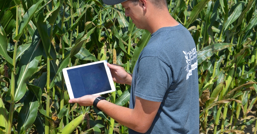
When Nanda came out of the field after about an hour of scouting, Nathan Bush arrived. He’s an agronomist with Greene Ag Consulting LLC, Franklin, Ind. Bush had agreed to fly the 25-acre field with a DJI Phantom 4 Pro unmanned aerial vehicle. The UAV creates a stitched image the operator can watch being made as the unit flies. Bush later uploaded the image so it could be stitched into a higher-quality image. Bush also uses a feature offered by DroneDeploy that gives an indication of plant health.

Aerial advantage
Nanda knew exactly what the crop was like where he walked. It was nearing black layer, but not yet there.
“The aerial image let us see what the entire field looked like without having to walk into other spots,” Bush says. “It’s tough to walk a cornfield late in the season and get a sense of what the entire field is like.”
The UAV’s preset flight, going with the planting direction of the rows, took about 10 minutes. The two hybrids stood out from each other even in the normal picture.
“The corn looked surprisingly consistent across the field, considering how late it was in the season,” Bush says. “There were a few lighter-green spots on either side of the waterway and on the ends, and in the far corner of the field.
“When we pulled up the plant health image, those areas were brownish to reddish. It probably indicates that there is more disease, more nutrient deficiency or some other factor causing plants to dry up more quickly there.”

That’s where the beauty of aerial scouting by UAV comes in, Bush says. “The next step is to ground-truth what we saw from the air,” he explains. “When we fly for a farmer, that’s part of the service. I load the image on my iPhone or tablet, pick out a point I want to investigate based on the flight map, and GPS takes me right to that point. I don’t waste time walking through corn where there isn’t any problem.”
You May Also Like
Enter a zip code to see the weather conditions for a different location.


