October 29, 2019

By Roger Elmore, Tom Hoegemeyer and Haishun Yang
We all probably know keen cloud observers who forecast weather with some degree of accuracy. But perhaps clouds can tell us more than just the upcoming weather. Early 2019 corn yield reports indicate yields may be 5% to 15% lower than what farmers planned on this year. This may be due in part to cloud cover in August.
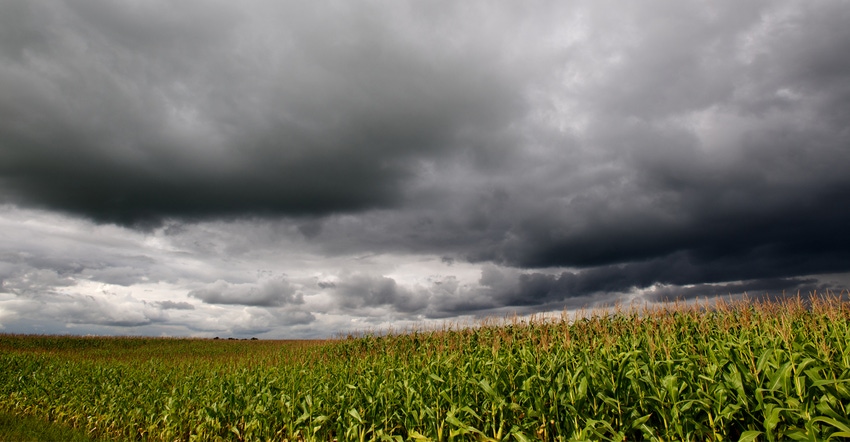
Extension climatologist Al Dutcher recently noted that the third week of August was exceptionally cloudy in parts of central Nebraska. For example, for the week of Aug. 19-25, solar radiation levels were 59.7% of normal for Wood River, Neb., and 64.5% of normal for York, Neb.
In addition, August temperatures were cooler than normal in most of Nebraska. How do these factors affect corn during the grain-fill period and eventual yield? Can clouds help us forecast corn yields?
Clouds — the good and the bad
First, we usually consider clouds a positive because they bring rain. But there's another side to it. They also reduce solar radiation, and unfortunately, the portion of the radiation spectrum that affects photosynthesis — photosynthetically active radiation, or PAR — also is reduced. This PAR reduction can reduce yield. Clouds also can decrease temperatures, which in some cases — such as 2004 —may extend the growing season and increase corn yield potential.
Based on a summary of previous reports where researchers used shade cloth to simulate clouds, we conclude that reduced solar radiation levels the third week of August in central Nebraska would reduce yield potential to some extent.
Hybrid-Maize Model simulations
The Hybrid-Maize Model computer program simulates corn growth and yields. Beyond the agronomic basics of hybrid maturity, planting date and plant population, the major data used are weather data.
It is a simulation model and "represents a simplification of the 'real-world' system and as such predictions may differ from actual outcomes." Nevertheless, we can use tools such as this to help us better understand corn.
We wondered if the model could help understand the effect of the heavy cloud cover central Nebraska experienced the third week of August, from Aug 19-25. We chose the automated weather station near Central City, Neb., and five years of data, 2015-19. We modeled a planting date of May 1 and a fully-irrigated 112-day hybrid with a plant population of 30,000 plants per acre.
2019 simulation with actual data
First, the model forecasted a yield of 237 bushels per acre with the crop achieving maturity (R6) Sept. 20. The average daily solar radiation for that third week of August was 297 langleys per meter squared, with 78.6 degrees F the average daily high temperature (Tmax), and an average minimum temperature (Tmin) of 62.9 degrees F.
2019 simulations substituting previous year's average
Next, we substituted the solar radiation and temperature averages for 2015-18 for the third week in August into the 2019 weather data to see if either solar radiation or temperature (both Tmax and Tmin) changes would affect 2019 development and productivity.
In other words, what would 2019 yields look like if we'd experienced weather similar to the average of the previous four years instead of what we experienced?
What if we had "average" solar radiation that third week of August instead of the intense cloud cover? Average daily solar for that week over the previous four years was 434 langleys per meter squared, a 46% increase over 2019. Not surprisingly, forecast corn yields increased 5% to 250 bushels per acre.
Then we asked a second question, knowing that increased clouds also changes temperatures: What if we had "average" solar radiation and temperatures for that third week of August instead of the intense cloud cover?
We used the same daily solar radiation of 434 langleys per meter squared and substituted the four-year average Tmax of 79.9 degrees F, the average daily high temperature, and an average Tmin of 56.8 degrees F into the model. The forecast, 251 bushels per acre yield, was similar to that where we changed only the solar radiation values.
The significantly lower radiation in 2019, coupled with a significantly higher Tmin, during that one week likely led to lower photosynthetic rate and higher respiration during the period — and lower yield in the end.
We expected that with more clouds in 2019, we could have had lower temperatures, which would slow development, increase the seed fill period and thus increase yields. But that did not happen. The coincidence of cloudy days, with similar Tmax but higher Tmin, dampened yield increases that could have accompanied the dense cloud cover the third week of August. Crop development was not affected; the modeled crop matured Sept. 20 in all three simulations.
Clouds indeed help some of us forecast weather. With practice and good crop models, we can better forecast corn yields as well.
Elmore is a retired University of Nebraska-Lincoln professor and Extension cropping systems agronomist. Hoegemeyer is a former adjunct professor of practice in UNL's Department of Agronomy and Horticulture. Yang is an associate professor in UNL's Department of Agronomy and Horticulture.
You May Also Like


