Subscribe to receive top agriculture news
Be informed daily with these free e-newsletters

Corn Pest Watch: Some farmers may choose to buy an unmanned aerial vehicle; others may opt for outside services.
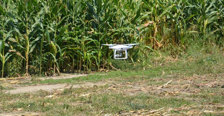
A couple of outfits at the Farm Progress Show offered aerial flights with 10 or more flights per summer, and lots of analysis that I frankly didn’t understand. Cost is usually $5 to $6 per acre, according to these sources. I especially think it’s important to scout corn. Would such a service be a wiser investment than buying a drone? I would need to get my Federal Aviation Administration remote pilot certificate to fly drones.
The Indiana certified crop advisers answering this question are Danny Greene of Greene Ag Consulting, Franklin, and Andy Like with Amvac in Knox County.
Greene: The answer to this would depend on your objectives and time available. You see value in knowing what is going on in your fields, and an aerial service could be a good first step. Alone, this option would likely not provide the information you need. Coupled with boots on the ground, it could direct you to issues in time to manage them effectively.
It could also be cost-effective compared to purchasing your own drone. The added concern for crash or loss with a drone, plus the time needed to learn to fly it, plus the liability risks associated with it might cause you to consider signing up for an aerial scouting service.
If you or someone in your farm operation is tech-savvy, you want the responsibility and you have the time, then a drone might be a good fit.
Like: I believe the service would be better than buying your own drone, what with the hassle of flying it and maintaining an FAA certificate, unless you already possess a high level of technical expertise. However, if you go with an aerial service, be sure you understand the analysis that will be provided and how you’re going to extract value from it.
You should do this before you proceed with either choice. Extracting value from captured data has long been the limiting factor of aerial imagery, although there are rapid innovations occurring in this area now.
You May Also Like
Enter a zip code to see the weather conditions for a different location.