Subscribe to receive top agriculture news
Be informed daily with these free e-newsletters

Producers in Local Enhanced Management Area achieve 44% reduction in water use.
Three years after a handful of committed producers voluntarily agreed to reduce pumping from the Ogallala Aquifer in an effort to make the water last longer, they have statistical proof that their effort is having better-than-hoped-for success.
New measurements from the Kansas Geological Survey show that the efforts of the Sheridan 6 Local Enhanced Management Area in northwest Kansas’ Groundwater Management District 4 reduced aquifer decline markedly in 2013 and 2014 and halted it in 2015.
The group initially set a goal of a 20% reduction in water use; however, data from seven KGS monitoring wells and usage data from 195 pumping wells in the LEMA shows that the producers reduced the average pumping from 2002 to 2012 by 44% to reach aquifer stability in 2015.
GMD 4 Manager Ray Luhman said producers utilized precision agriculture tools and some changes in cropping practices to achieve their results.
“One of the big things was use of soil moisture probes and shutting off the pivot when the crop didn’t need the water,” he said. “They also made some changes to crop mix, using half-circles of corn or soybeans with half-circles of wheat or milo to cut down on water usage. It’s amazing how something as simple as shutting off the pivot when it’s raining can make a big difference.”
Even better news from the Sheridan 6 is that over the four years since the LEMA went into effect, profitability for the producers has remained steady.

Mitch Baalman, a farmer within the Sheridan-6 LEMA and GMD4 board member, stressed the importance of the local efforts in that area. “It all starts with the local farmers, the people on the ground,” he said. “They have all provided leadership and commitment, and we are excited to celebrate their efforts.”
District-wide LEMA proposed
Luhman said the success of the project and the specter of continued steep decline in the rest of GMD 4 led the board of directors to make a proposal to the Division of Water Resources to make the entire district a LEMA.
“Our proposal has been accepted by the DWR,” he said. “There will be two public hearings, and if it gets final approval, the mandatory use reductions will go into place for the 2018 growing season.”
Luhman said the LEMA requires only a request from the groundwater management board and approval by DWR and does not need to be approved by all of the landowners affected.
“It is forced compliance,” he said. “That won’t be popular with everybody, but the board feels that it has to be done.”
He said usage reductions will vary across the district, based on the depth of the saturated pool and the rate of decline.
Research shows that it would take a 23% reduction across the district to reach stability. Luhman said that is an average, and the actual reductions needed would be greater in some areas and less in others.
“At this point, I don’t think it is realistic to get to zero decline,” he said. “I don’t think that we can make a big enough reduction to do that and hold profitability. But I think we can make significant progress. It is obvious we have to do something.”
Projecting impact of reduction
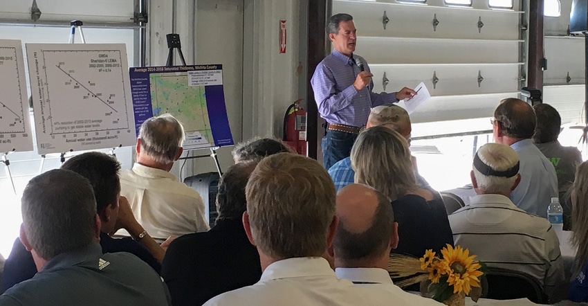
KGS Senior Scientist and Geohydrology Section Chief Jim Butler presented the data on the Sheridan 6 at meetings in Hoxie and Garden City on July 18 and told the audience that predicting how much reduced use will impact aquifer decline is possible because of Kansas’ robust data system.

“It is no exaggeration to say that Kansas leads the nation, if not the world, in data on water use and water-level changes in our aquifers. The result is that we can have more confidence in our assessment of what the future holds for these critically important systems,” Butler said.
Butler showed charts that map measurements from monitoring wells in both the Sheridan 6 LEMA and the entirety of GMD 4 and talked about projections of how much usage would have to be cut to reach stability in the aquifer.
For GMD 4, usage in the very dry year of 2012 was measured at 535,895 acre-feet based on data from pumping wells. The aquifer level dropped a little over a foot in that year alone.

On an average of years from 1996 to 2005 and 2008 to 2015, pumping has been about 427,000 acre-feet a year, and the aquifer decline has been about 0.60 foot.
Butler estimates a 23% reduction to about 330,000 acre-feet per year would stabilize GMD 4. That reduction, however, is an average for the district, and Butler noted that some areas in the district have more water than others.
Both Butler and Luhman stressed that the stability projections have a shelf life.
“We are talking about stability for the next couple of decades,” Butler said. “We don’t know what nature is going to hand us in terms of weather or other changes. But just seeing progress is exciting.”
Governor pleased with Vision success
Kansas Gov. Sam Brownback, who launched his 50-year Vision for the Future of Water in Kansas early in his administration, said the success of the Sheridan 6 is proof that conservation can help stabilize the aquifer and that precision agricultural tools can help producers reduce water while maintaining production.

“With water management tools like Local Enhanced Management Areas, to Water Conservation Areas, to Water Banking, with the repeal of ‘use it or lose it’ water laws, coupled with new irrigation techniques like deep soil moisture probes, drop nozzle and mobile drip irrigation and sophisticated irrigation water management, it is possible to reduce our demands on the aquifer to a level of sustainability and still grow our crops to feed the world,” Brownback said.
“I congratulate and thank all of those who have made this new vision and new day possible. It is our legacy to future generations to take this information and put it to productive use in the conservation of this precious resource. We want to be remembered as the generation who took the proactive steps and not the generation who didn’t. In 20, 30, 40 years or more, we will be judged by what we did, or did not do,” the governor added.
You May Also Like
Enter a zip code to see the weather conditions for a different location.


